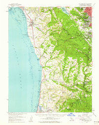
1961 Map of Half Moon Bay
USGS Topo · Published 1962About this map
The coastal shelf of the Corral de Tierra (Vasquez) and Miramontes land grants meets the Pacific shoreline at the start of the 1960s, defined by a string of seaside communities and agricultural reaches. From El Granada and Miramar down to Half Moon Bay, the Cabrillo Hwy serves as the primary artery connecting these towns to the rugged interior ridges. Inland, the landscape shifts abruptly into the deep canyons and high crests of the Santa Cruz Mountains, where the San Francisco State Fish and Game Refuge and the Water Temple mark the critical infrastructure of the regional water system.
Find a feature on this map
175 named features on this map. Tap any name to fly to it.
Don’t see what you’re looking for? This feature index may not catch every label — zoom into the map to look around manually.
Map Details
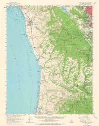
Editions of this 1961 Half Moon Bay Map
2 editions found
Other maps of this area

1892 · San Mateo
USGS Topo · 1:62,500

1896 · San Mateo
USGS Topo · 1:62,500

1897 · Palo Alto
USGS Topo · 1:62,500

1899 · Palo Alto
USGS Topo · 1:62,500

1899 · Haywards
USGS Topo · 1:62,500

1899 · San Mateo
USGS Topo · 1:62,500

1902 · Santa Cruz
USGS Topo · 1:125,000

1915 · San Mateo
USGS Topo · 1:62,500

1915 · Haywards
USGS Topo · 1:62,500

1939 · San Mateo
USGS Topo · 1:62,500