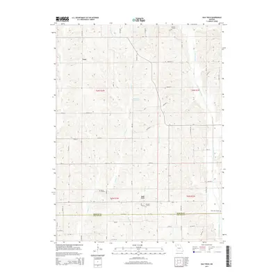
2014 Map of Half Rock
USGS Topo · Published 2014About this map
Half Rock and the small settlement of Topsy anchor this agricultural landscape along the southern border of Mercer County. The terrain is defined by a dense network of winding watercourses, including W Honey Cr, E Honey Cr, and the ironically named Big No Cr and Little No Cr. These streams carve through the rolling farmland, creating a complex drainage system that leads toward Little Medicine Creek in the east. Genealogists will find significant value in the documentation of several rural burial grounds, such as Brantley Cemetery in the north and White Oak Cemetery to the southeast. The map also records localized landmarks like Hammond Brothers Lake, providing a detailed look at land use and family holdings in north-central Missouri at the start of the 21st century.
Find a feature on this map
55 named features on this map. Tap any name to fly to it.
Don’t see what you’re looking for? This feature index may not catch every label — zoom into the map to look around manually.
Map Details
Editions of this 2014 Half Rock Map
This is the sole edition of this map. No revisions or reprints were ever made.
Other maps of this area

1946 · Princeton
USGS Topo · 1:62,500

1946 · Galt
USGS Topo · 1:62,500

1948 · Princeton
USGS Topo · 1:62,500

1948 · Trenton
USGS Topo · 1:62,500

1949 · Galt
USGS Topo · 1:62,500

1954 · Centerville
USGS Topo · 1:250,000

1957 · Centerville
USGS Topo · 1:250,000

1958 · Centerville
USGS Topo · 1:250,000

1964 · Ravanna
USGS Topo · 1:24,000

1964 · Harris
USGS Topo · 1:24,000