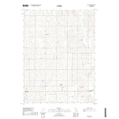
2017 Map of Half Rock
USGS Topo · Published 2017About this map
Half Rock serves as the focal point of this rural Missouri landscape, situated near the boundary where Mercer Co meets Grundy County. The area is defined by a dense network of winding creeks and tributaries, most notably Little Medicine Creek and the bifurcated W Honey Cr and E Honey Cr. This 2017 survey reveals a deeply agricultural character, where land is divided into the township and range system, including t64n r23w and t64n r22w.
Find a feature on this map
57 named features on this map. Tap any name to fly to it.
Don’t see what you’re looking for? This feature index may not catch every label — zoom into the map to look around manually.
Map Details
Editions of this 2017 Half Rock Map
This is the sole edition of this map. No revisions or reprints were ever made.
Other maps of this area

1946 · Princeton
USGS Topo · 1:62,500

1946 · Galt
USGS Topo · 1:62,500

1948 · Princeton
USGS Topo · 1:62,500

1948 · Trenton
USGS Topo · 1:62,500

1949 · Galt
USGS Topo · 1:62,500

1954 · Centerville
USGS Topo · 1:250,000

1957 · Centerville
USGS Topo · 1:250,000

1958 · Centerville
USGS Topo · 1:250,000

1964 · Ravanna
USGS Topo · 1:24,000

1964 · Harris
USGS Topo · 1:24,000