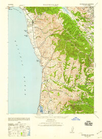
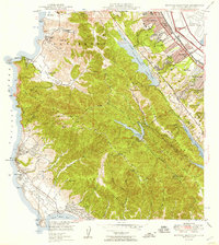
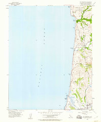
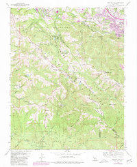
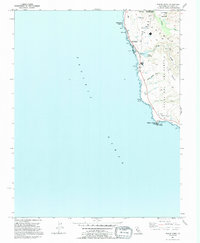
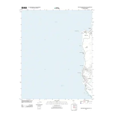
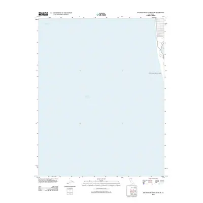
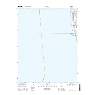
1940 Map of Halfmoon Bay
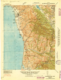
USGS Topo · Published 1959About this map
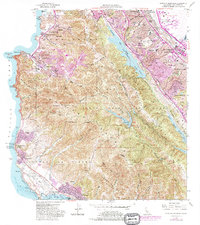
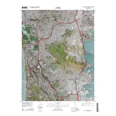
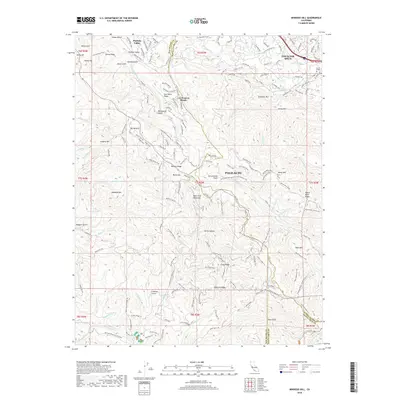
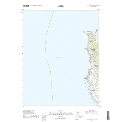
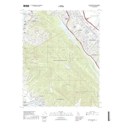
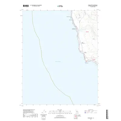
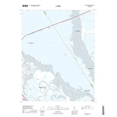
The Pacific Ocean coastline of San Mateo County is depicted here in the years leading up to World War II, showing a landscape defined by steep coastal ridges and scattered rural ranching communities. The Pulgas Water Temple stands as a significant landmark near Crystal Springs Lake, marking the terminus of the Hetch Hetchy Aqueduct system. Inland, the high elevations of Kings Mtn and Sierra Morena separate the coastal terrace from the growing bayside communities of San Carlos and Woodside. Along the shore, small settlements and schools like Miramar Sch and Purisima Sch serve the agricultural lands between Pillar Point and the southern village of Pescadero. This survey captures the region before the post-war expansion transformed the Peninsula, highlighting the winding routes through Cañada De Verde Y Arroyo De La Purisima and the timbered slopes of Butano Ridge.
Find a feature on this map
41 named features on this map. Tap any name to fly to it.
Don’t see what you’re looking for? This feature index may not catch every label — zoom into the map to look around manually.
Map Details
Editions of this 1940 Halfmoon Bay Map
2 editions found
Historical Maps of Redwood City Through Time
68 maps found

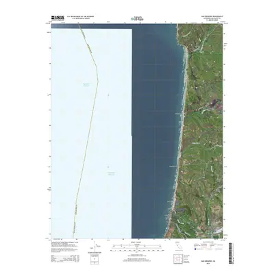
1940 Ano Nuevo
San Mateo County, CA
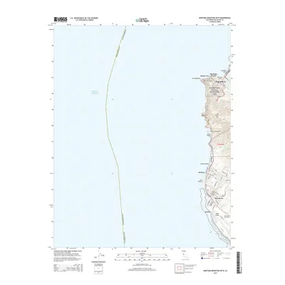
1940 Halfmoon Bay
San Mateo County, CA

1941 Ano Nuevo Pt.
San Mateo County, CA
1942 Ano Nuevo
San Mateo County, CA

1943 Halfmoon Bay
San Mateo County, CA

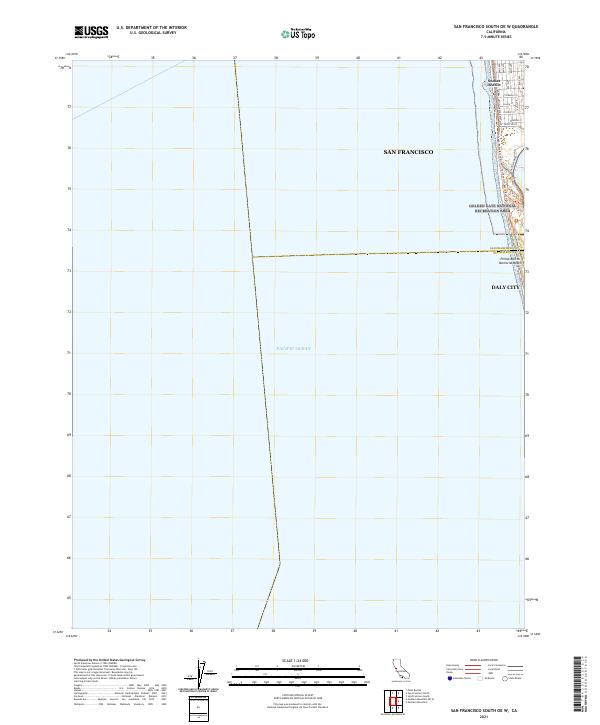
1947 San Francisco South
San Mateo County, CA
1948 Ano Nuevo
San Mateo County, CA

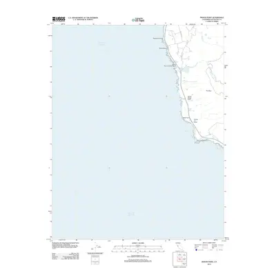
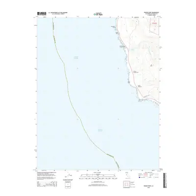
1948 Redwood Point
San Mateo County, CA
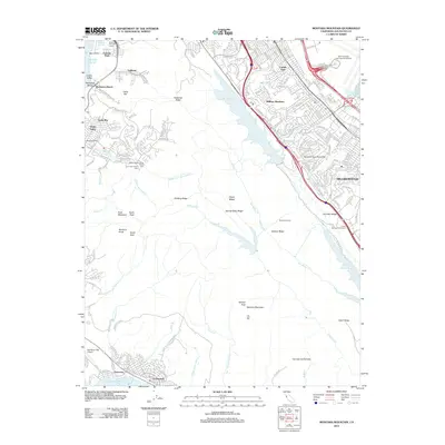
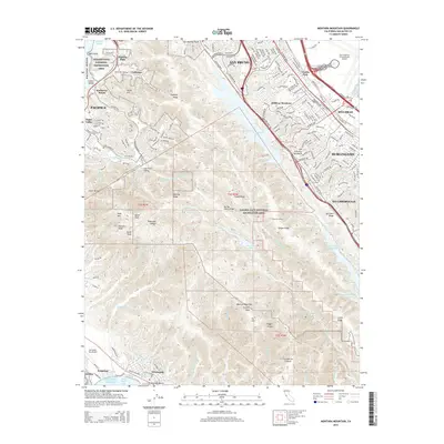
1949 Montara Mountain
San Mateo County, CA

1950 San Francisco South
San Mateo County, CA
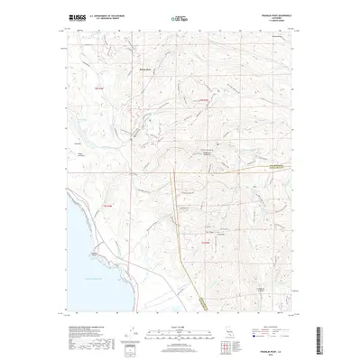
1955 Franklin Point
San Mateo County, CA
1955 Mindego Hill
San Mateo County, CA
1955 Pigeon Point
San Mateo County, CA
1955 San Gregorio
San Mateo County, CA
1956 Montara Mountain
San Mateo County, CA
1956 San Francisco South
San Mateo County, CA
1959 Redwood Point
San Mateo County, CA
1961 Mindego Hill
San Mateo County, CA
1961 San Gregorio
San Mateo County, CA
1991 Franklin Point
San Mateo County, CA
1991 Mindego Hill
San Mateo County, CA
1991 Pigeon Point
San Mateo County, CA

1991 San Gregorio
San Mateo County, CA

1993 Montara Mountain
San Mateo County, CA

1993 Redwood Point
San Mateo County, CA

1993 San Francisco South
San Mateo County, CA

1995 San Francisco South
San Mateo County, CA

1997 Mindego Hill
San Mateo County, CA

1997 Montara Mountain
San Mateo County, CA

1997 San Gregorio
San Mateo County, CA

1998 Franklin Point
San Mateo County, CA
1998 Pigeon Point
San Mateo County, CA
2012 Franklin Point
San Mateo County, CA
2012 Mindego Hill
San Mateo County, CA
2012 Montara Mountain OE W
San Mateo County, CA
2012 Montara Mountain
San Mateo County, CA
2012 Pigeon Point
San Mateo County, CA
2012 Redwood Point
San Mateo County, CA
2012 San Francisco South OE W
San Mateo County, CA
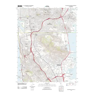
2012 San Francisco South
San Mateo County, CA
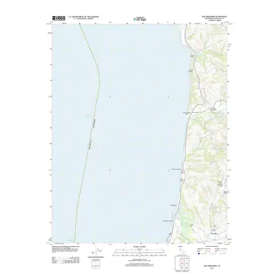
2012 San Gregorio
San Mateo County, CA
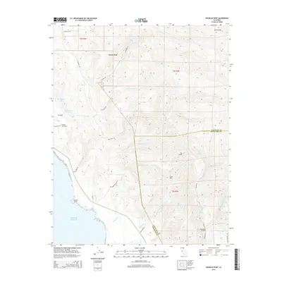
2015 Franklin Point
San Mateo County, CA

2015 Mindego Hill
San Mateo County, CA
2015 Montara Mountain OE W
San Mateo County, CA
2015 Montara Mountain
San Mateo County, CA
2015 Pigeon Point
San Mateo County, CA
2015 Redwood Point
San Mateo County, CA
2015 San Francisco South OE W
San Mateo County, CA
2015 San Francisco South
San Mateo County, CA
2015 San Gregorio
San Mateo County, CA
2018 Franklin Point
San Mateo County, CA
2018 Mindego Hill
San Mateo County, CA
2018 Montara Mountain OE W
San Mateo County, CA
2018 Montara Mountain
San Mateo County, CA
2018 Pigeon Point
San Mateo County, CA
2018 Redwood Point
San Mateo County, CA
2018 San Francisco South OE W
San Mateo County, CA
2018 San Francisco South
San Mateo County, CA
2018 San Gregorio
San Mateo County, CA
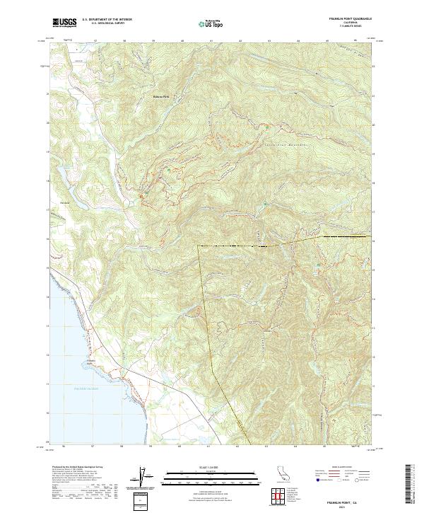
2021 Franklin Point
San Mateo County, CA
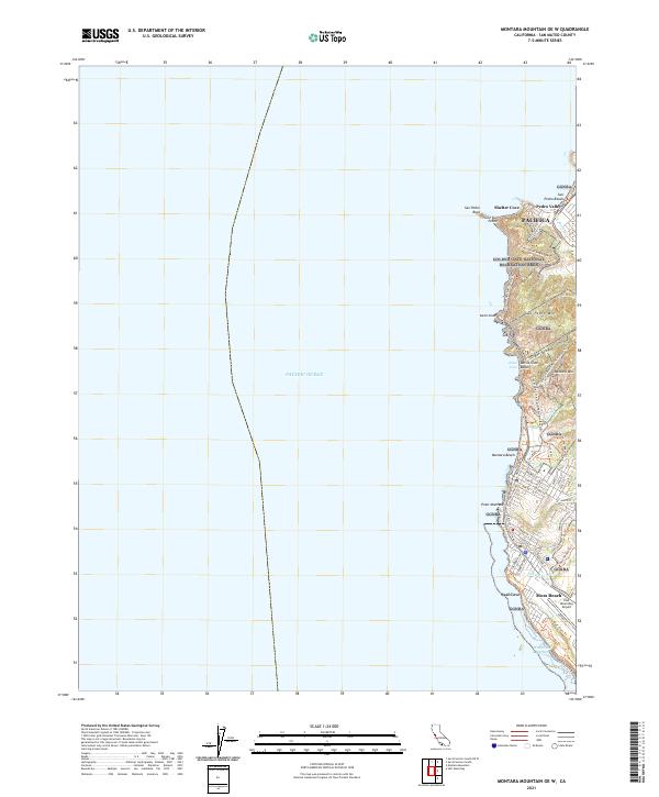
2021 Montara Mountain OE W
San Mateo County, CA
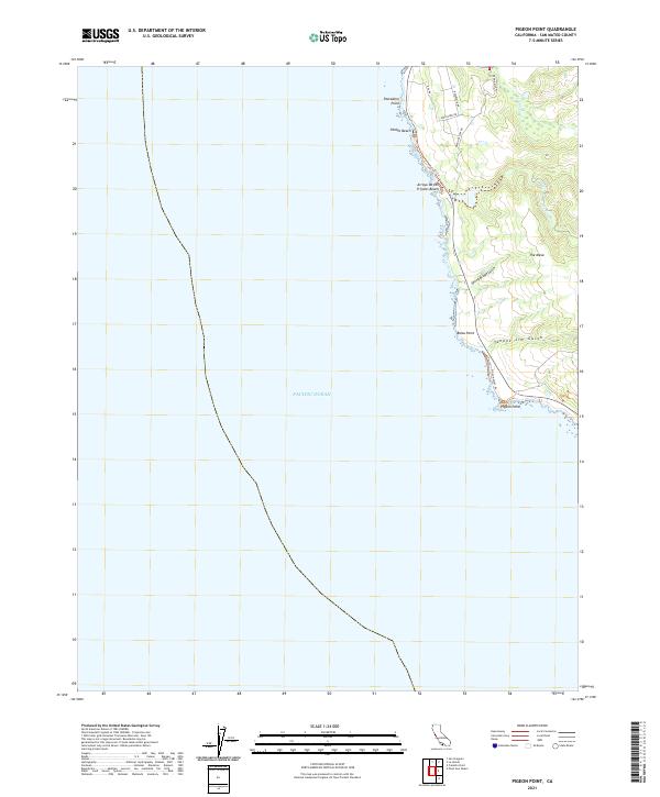
2021 Pigeon Point
San Mateo County, CA
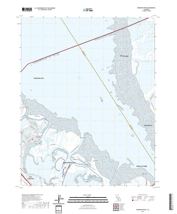
2021 Redwood Point
San Mateo County, CA
2021 San Francisco South OE W
San Mateo County, CA

2021 San Francisco South
San Mateo County, CA
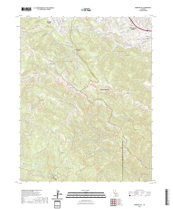
2022 Mindego Hill
San Mateo County, CA
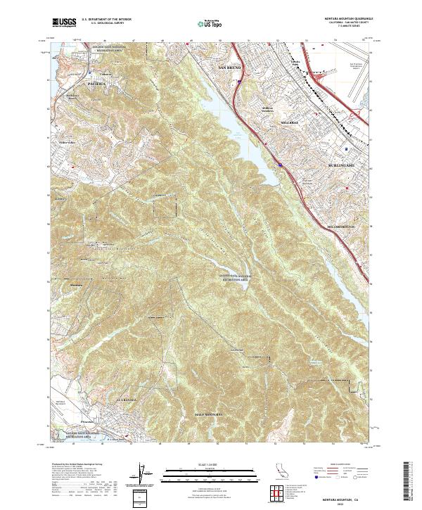
2022 Montara Mountain
San Mateo County, CA
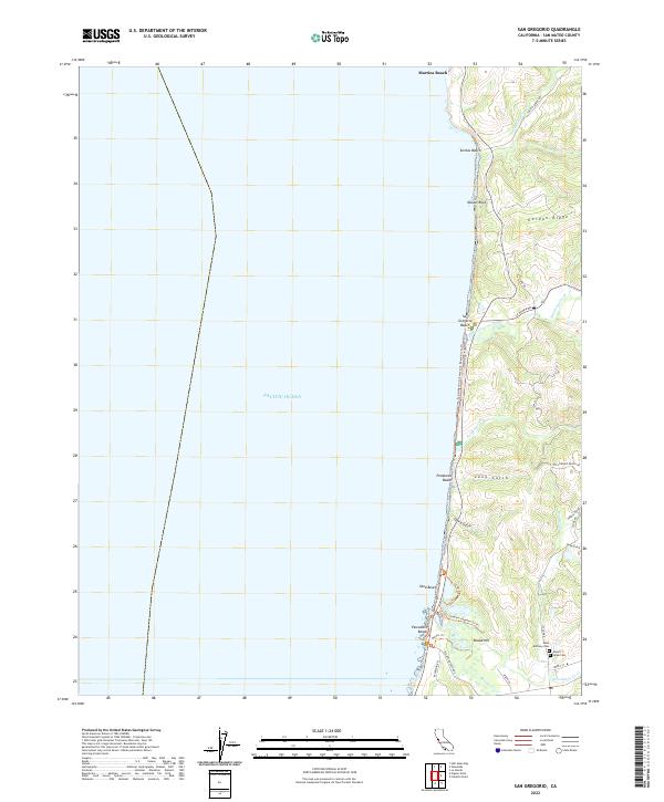
2022 San Gregorio
San Mateo County, CA