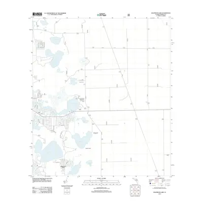
2012 Map of Halfmoon Lake
USGS Topo · Published 2012About this map
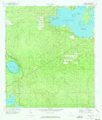
Lynn and the residential enclave of Woods and Lakes anchor this landscape characterized by a dense network of water bodies and recreational grounds in central Florida. The area is defined by its collection of campgrounds and retreat centers, including Deer Lake Camp, Eckard Camp, and the Camp Kiwanis Organizational Campground near the shores of Mill Dam Lake. These sites, along with the Halfmoon Lake Campground, suggest a long-standing tradition of seasonal recreation and community gathering in the region.
Find a feature on this map
44 named features on this map. Tap any name to fly to it.
Don’t see what you’re looking for? This feature index may not catch every label — zoom into the map to look around manually.
Map Details
Editions of this 2012 Halfmoon Lake Map
This is the sole edition of this map. No revisions or reprints were ever made.
Other maps of this area

1954 · Daytona Beach
USGS Topo · 1:250,000

1958 · Daytona Beach
USGS Topo · 1:250,000

1964 · Daytona Beach
USGS Topo · 1:250,000
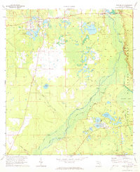
1970 · Ft McCoy
USGS Topo · 1:24,000

1970 · Salt Springs
USGS Topo · 1:24,000
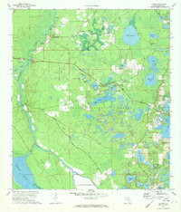
1970 · Lynne
USGS Topo · 1:24,000

1970 · Halfmoon Lake
USGS Topo · 1:24,000
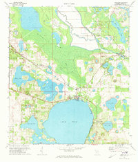
1970 · Lake Weir
USGS Topo · 1:24,000
1970 · Lake Kerr
USGS Topo · 1:24,000

1972 · Juniper Springs
USGS Topo · 1:24,000