
1970 Map of Halfmoon Lake
USGS Topo · Published 1973About this map
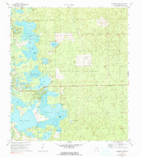
Ocala National Forest dominates this landscape, defined by a complex network of freshwater lakes, prairies, and marshes in Marion County. The central hub of activity centers around Mill Dam Lake, where a Recreation Area, Boat Ramp, and Campground suggest the area's importance for local outdoor life. To the south, a Trailer Park and several clusters of buildings mark the primary residential footprint near the shores of Halfmoon Lake and Lake Bryant.
Find a feature on this map
38 named features on this map. Tap any name to fly to it.
Don’t see what you’re looking for? This feature index may not catch every label — zoom into the map to look around manually.
Map Details
Editions of this 1970 Halfmoon Lake Map
3 editions found
Other maps of this area

1954 · Daytona Beach
USGS Topo · 1:250,000

1958 · Daytona Beach
USGS Topo · 1:250,000

1964 · Daytona Beach
USGS Topo · 1:250,000
1970 · Ft McCoy
USGS Topo · 1:24,000

1970 · Salt Springs
USGS Topo · 1:24,000
1970 · Lynne
USGS Topo · 1:24,000
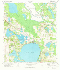
1970 · Lake Weir
USGS Topo · 1:24,000
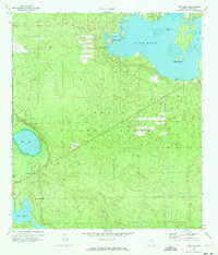
1970 · Lake Kerr
USGS Topo · 1:24,000

1972 · Juniper Springs
USGS Topo · 1:24,000
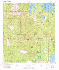
1972 · Farles Lake
USGS Topo · 1:24,000