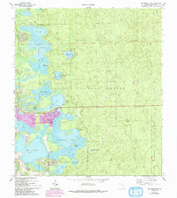
1970 Map of Halfmoon Lake
USGS Topo · Published 1993About this map
Ocala National Forest dominates the terrain of this Marion County quadrangle, where a dense network of lakes and prairies defines the Central Florida landscape. The settlement of Lynn sits at the nexus of several water bodies, including Mill Dam Lake and Lake Bryant. This 1970 snapshot, revised in the early 1990s, documents the expansion of residential areas and recreational facilities such as the Recreation Area and multiple boat ramps. The presence of Snake Island within Halfmoon Lake and the oddly named Sellers Bear Hole speak to the local naming traditions of the era. To the south, the development at Woods and Lakes indicates the transition toward more modern residential clustering near the forest boundary, while scattered Claypit sites suggest small-scale resource extraction. The map preserves the exact placement of local landmarks like the Lookout Tower, essential for forest management in this heavily wooded region.
Find a feature on this map
30 named features on this map. Tap any name to fly to it.
Don’t see what you’re looking for? This feature index may not catch every label — zoom into the map to look around manually.
Map Details
Editions of this 1970 Halfmoon Lake Map
3 editions found
Other maps of this area

1954 · Daytona Beach
USGS Topo · 1:250,000

1958 · Daytona Beach
USGS Topo · 1:250,000

1964 · Daytona Beach
USGS Topo · 1:250,000
1970 · Ft McCoy
USGS Topo · 1:24,000

1970 · Salt Springs
USGS Topo · 1:24,000
1970 · Lynne
USGS Topo · 1:24,000

1970 · Halfmoon Lake
USGS Topo · 1:24,000
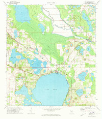
1970 · Lake Weir
USGS Topo · 1:24,000
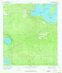
1970 · Lake Kerr
USGS Topo · 1:24,000

1972 · Juniper Springs
USGS Topo · 1:24,000