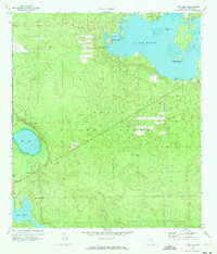
1970 Map of Lake Kerr
USGS Topo · Published 1973About this map
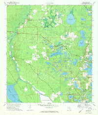
Kerr City sits at the northern edge of this 1970 survey, offering a glimpse into the historic settlement patterns of Marion County. The landscape is dominated by the sprawling waters of Lake Kerr, featuring distinct landforms like Kauffmans Island, Petes Island, and Lake Kerr Key. The surrounding terrain, largely within the Ocala National Forest, is marked by numerous depressions and wetlands including Mud Lake and Lake Eaton, the latter of which provides a Campground and Picnic Area for recreation.
Find a feature on this map
22 named features on this map. Tap any name to fly to it.
Don’t see what you’re looking for? This feature index may not catch every label — zoom into the map to look around manually.
Map Details
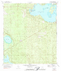
Editions of this 1970 Lake Kerr Map
2 editions found
Other maps of this area

1954 · Daytona Beach
USGS Topo · 1:250,000

1958 · Daytona Beach
USGS Topo · 1:250,000

1964 · Daytona Beach
USGS Topo · 1:250,000
1970 · Ft McCoy
USGS Topo · 1:24,000

1970 · Welaka
USGS Topo · 1:24,000
1970 · Lake Delancy
USGS Topo · 1:24,000

1970 · Salt Springs
USGS Topo · 1:24,000
1970 · Lynne
USGS Topo · 1:24,000

1970 · Halfmoon Lake
USGS Topo · 1:24,000
1970 · Eureka Dam
USGS Topo · 1:24,000