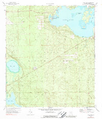
1970 Map of Lake Kerr
USGS Topo · Published 1989About this map
Lake Kerr dominates this landscape within the Ocala National Forest, its shoreline dotted with early settlements and recreational landmarks. The community of Kerr City sits at the northern edge, supported by a nearby Cem, while Point Pleasant and Petes Island mark the transition into the main body of water. The presence of an Old Railroad Grade and several Claypits indicates the area's industrial past, though by this era, the focus shifted toward conservation and forest management, evidenced by the Eureka Lookout Tower and the Campground near Mud Lake. Away from the main lake, smaller water bodies like Lake Eaton and Little Lake Kerr are surrounded by a network of Jeep Trails and a central Pipeline, reflecting the development of rural Florida's interior forest lands during the mid-to-late 20th century.
Find a feature on this map
27 named features on this map. Tap any name to fly to it.
Don’t see what you’re looking for? This feature index may not catch every label — zoom into the map to look around manually.
Map Details
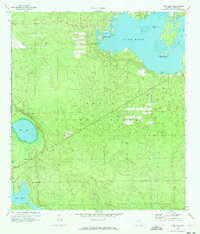
Editions of this 1970 Lake Kerr Map
2 editions found
Other maps of this area

1954 · Daytona Beach
USGS Topo · 1:250,000

1958 · Daytona Beach
USGS Topo · 1:250,000

1964 · Daytona Beach
USGS Topo · 1:250,000
1970 · Ft McCoy
USGS Topo · 1:24,000

1970 · Welaka
USGS Topo · 1:24,000
1970 · Lake Delancy
USGS Topo · 1:24,000

1970 · Salt Springs
USGS Topo · 1:24,000
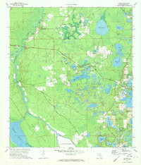
1970 · Lynne
USGS Topo · 1:24,000

1970 · Halfmoon Lake
USGS Topo · 1:24,000
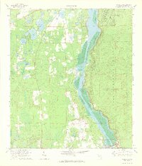
1970 · Eureka Dam
USGS Topo · 1:24,000