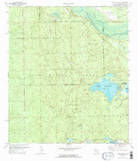
1970 Map of Lake Delancy
USGS Topo · Published 1973About this map
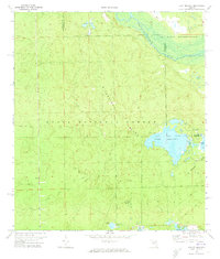
Kerr City lies at the southern edge of this interior Florida landscape, situated just north of the expansive Lake Kerr. Much of the terrain is defined by the high, sandy ridges of Riverside Island and Norwalk Island, which rise within the protected bounds of the Ocala National Forest. These elevated features are surrounded by a complex system of depressional wetlands and water bodies, including Lake Delancy and the smaller Penner Ponds. To the northeast, the Oklawaha River carves a winding path along the boundary of a US Naval Reservation, marking a distinct shift from the forest interior to the riverine swamp. The presence of the Grassy Pond Recreation Area and a Campground near the lake suggests the area's mid-century role as a destination for outdoor recreation. This survey documents a wilderness area where natural hydrology and federal land management intersect, from the open waters of Buckskin Prairie to the network of jeep trails crossing the pine scrub.
Find a feature on this map
15 named features on this map. Tap any name to fly to it.
Don’t see what you’re looking for? This feature index may not catch every label — zoom into the map to look around manually.
Map Details
Editions of this 1970 Lake Delancy Map
2 editions found
Other maps of this area

1912 · Palatka
USGS Topo · 1:48,000

1915 · Palatka
USGS Topo · 1:62,500

1915 · Interlachen
USGS Topo · 1:48,000

1916 · Interlachen
USGS Topo · 1:62,500

1944 · Interlachen
USGS Topo · 1:62,500

1949 · Keuka
USGS Topo · 1:24,000

1949 · Rodman
USGS Topo · 1:24,000

1949 · Interlachen
USGS Topo · 1:62,500

1954 · Daytona Beach
USGS Topo · 1:250,000

1958 · Daytona Beach
USGS Topo · 1:250,000