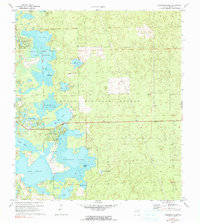
1970 Map of Halfmoon Lake
USGS Topo · Published 1990About this map
Ocala National Forest dominates this Marion County landscape, showing a dense network of lakes, wetlands, and prairies as they appeared during the 1970 field check. The area is defined by its substantial water bodies, including Halfmoon Lake and Lake Bryant, which are surrounded by numerous smaller depressions and marshes like Zay Prairie and North Prairie. This topography reflects the karst-like hydrologic character of the Florida interior, where lakes often connect through subsurface channels or seasonal wetlands.
Find a feature on this map
35 named features on this map. Tap any name to fly to it.
Don’t see what you’re looking for? This feature index may not catch every label — zoom into the map to look around manually.
Map Details
Editions of this 1970 Halfmoon Lake Map
3 editions found
Other maps of this area

1954 · Daytona Beach
USGS Topo · 1:250,000

1958 · Daytona Beach
USGS Topo · 1:250,000

1964 · Daytona Beach
USGS Topo · 1:250,000
1970 · Ft McCoy
USGS Topo · 1:24,000

1970 · Salt Springs
USGS Topo · 1:24,000
1970 · Lynne
USGS Topo · 1:24,000

1970 · Halfmoon Lake
USGS Topo · 1:24,000
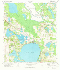
1970 · Lake Weir
USGS Topo · 1:24,000
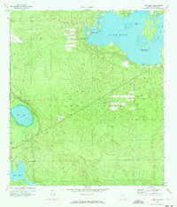
1970 · Lake Kerr
USGS Topo · 1:24,000

1972 · Juniper Springs
USGS Topo · 1:24,000