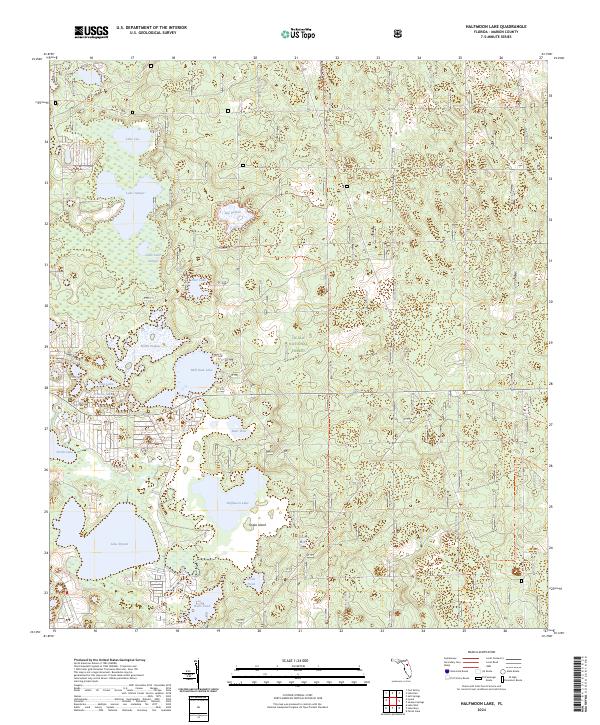
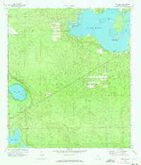
2024 Map of Halfmoon Lake
USGS Topo · Published 2024About this map
The Ocala National Forest dominates this section of the Florida interior, where an intricate network of waterways and wet prairies defines the landscape. The hydrology of the area is particularly complex, characterized by large bodies such as Halfmoon Lake and Mill Dam Lake, as well as distinctive shallow features like Zay Prairie and North Prairie. These prairie systems represent a unique Florida terrain where open wetlands fluctuate with the water table, creating a varied environment for forestry and recreation.
Find a feature on this map
29 named features on this map. Tap any name to fly to it.
Don’t see what you’re looking for? This feature index may not catch every label — zoom into the map to look around manually.
Map Details
Editions of this 2024 Halfmoon Lake Map
This is the sole edition of this map. No revisions or reprints were ever made.
Other maps of this area

1954 · Daytona Beach
USGS Topo · 1:250,000

1958 · Daytona Beach
USGS Topo · 1:250,000

1964 · Daytona Beach
USGS Topo · 1:250,000
1970 · Ft McCoy
USGS Topo · 1:24,000

1970 · Salt Springs
USGS Topo · 1:24,000
1970 · Lynne
USGS Topo · 1:24,000

1970 · Halfmoon Lake
USGS Topo · 1:24,000
1970 · Lake Weir
USGS Topo · 1:24,000
1970 · Lake Kerr
USGS Topo · 1:24,000

1972 · Juniper Springs
USGS Topo · 1:24,000