
2009 Map of Halford
USGS Topo · Published 2009About this map
The small settlement of Halford sits in the northwest corner of this high-plains landscape, where the agricultural grid dominates the terrain of Thomas County. The map captures a transition in water drainage patterns, defined by the winding course of the South Fork Solomon River in the south and the intermittent flow of Sand Creek in the northeast. This 2009 survey by the U. S. Geological Survey illustrates the intersection of local transportation and rural land use, featuring an extensive network of county roads such as Co Rd 31 and Co Rd Q that facilitate movement between the scattered farmsteads and open fields. The topography is characterized by subtle drainage draws that feed into the primary river system, reflecting the essential relationship between the dry prairie environment and its vital water sources.
Find a feature on this map
13 named features on this map. Tap any name to fly to it.
Don’t see what you’re looking for? This feature index may not catch every label — zoom into the map to look around manually.
Map Details
Editions of this 2009 Halford Map
This is the sole edition of this map. No revisions or reprints were ever made.
Other maps of this area

1954 · Goodland
USGS Topo · 1:250,000

1956 · Goodland
USGS Topo · 1:250,000

1957 · Goodland
USGS Topo · 1:250,000

1979 · Menlo
USGS Topo · 1:24,000

1979 · Rexford
USGS Topo · 1:24,000
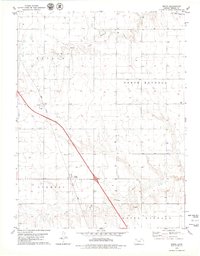
1979 · Mingo
USGS Topo · 1:24,000

1979 · Oakley North
USGS Topo · 1:24,000
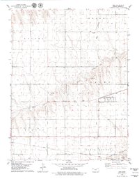
1979 · Gem
USGS Topo · 1:24,000
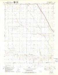
1979 · Spica
USGS Topo · 1:24,000
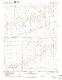
1979 · Breton
USGS Topo · 1:24,000