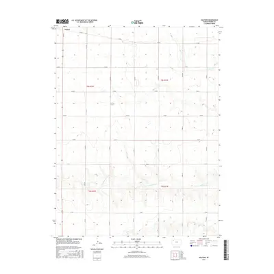
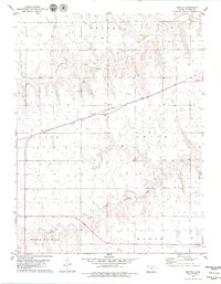
2015 Map of Halford
USGS Topo · Published 2015About this map
Halford serves as a primary reference point in this western Kansas landscape, situated near the intersection of several significant county thoroughfares in Thomas County. The terrain is defined by the winding course of the S Fork Solomon River, which cuts across the southern portion of the quadrangle, while Sand Cr drains the northeastern corner. These waterways provide a natural contrast to the geometric precision of the Public Land Survey System, which divides the area into townships such as t8s r32w and t9s r31w. The road network is established on a strict grid, with routes like Co RD 30 and Co RD Q facilitating movement through the agricultural lands. This map reflects the enduring rural character of the region, where land use is dictated by the availability of water and the efficiency of the section-line roads.
Find a feature on this map
20 named features on this map. Tap any name to fly to it.
Don’t see what you’re looking for? This feature index may not catch every label — zoom into the map to look around manually.
Map Details
Editions of this 2015 Halford Map
This is the sole edition of this map. No revisions or reprints were ever made.
Other maps of this area

1954 · Goodland
USGS Topo · 1:250,000

1956 · Goodland
USGS Topo · 1:250,000

1957 · Goodland
USGS Topo · 1:250,000

1979 · Menlo
USGS Topo · 1:24,000

1979 · Rexford
USGS Topo · 1:24,000
1979 · Mingo
USGS Topo · 1:24,000

1979 · Oakley North
USGS Topo · 1:24,000
1979 · Gem
USGS Topo · 1:24,000
1979 · Spica
USGS Topo · 1:24,000
1979 · Breton
USGS Topo · 1:24,000