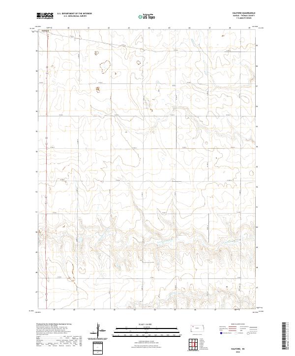
2022 Map of Halford
USGS Topo · Published 2022About this map
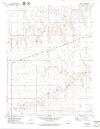
Halford sits at the northern edge of this high plains landscape, defined by a rigid section-line road grid and the winding course of the S Fork Solomon River. This 2022 survey illustrates the enduring agricultural character of Thomas County, where the geometric precision of routes like Co RD 30 and Co RD Q contrasts with the organic drainage of Sand Cr. The river valley in the southern portion of the map provides the primary topographic variation in an area dominated by vast open fields and dispersed homesteads. The sparse distribution of named settlements emphasizes the rural isolation and the importance of the river corridor to the historical development of the region's transport and land use patterns.
Find a feature on this map
20 named features on this map. Tap any name to fly to it.
Don’t see what you’re looking for? This feature index may not catch every label — zoom into the map to look around manually.
Map Details
Editions of this 2022 Halford Map
This is the sole edition of this map. No revisions or reprints were ever made.
Other maps of this area

1954 · Goodland
USGS Topo · 1:250,000

1956 · Goodland
USGS Topo · 1:250,000

1957 · Goodland
USGS Topo · 1:250,000

1979 · Menlo
USGS Topo · 1:24,000

1979 · Rexford
USGS Topo · 1:24,000
1979 · Mingo
USGS Topo · 1:24,000

1979 · Oakley North
USGS Topo · 1:24,000
1979 · Gem
USGS Topo · 1:24,000
1979 · Spica
USGS Topo · 1:24,000
1979 · Breton
USGS Topo · 1:24,000