
1968 Map of Halfway
USGS Topo · Published 1970About this map
Agricultural innovation and rural infrastructure define this West Texas landscape during the late 1960s. The community of Halfway serves as a central hub, notably hosting the High Plains Research Foundation, reflecting the region's focus on scientific advancement in farming. The terrain is marked by a high density of irrigation infrastructure, with numerous Wells dotting the plains to support the local economy.
Find a feature on this map
13 named features on this map. Tap any name to fly to it.
Don’t see what you’re looking for? This feature index may not catch every label — zoom into the map to look around manually.
Map Details
Editions of this 1968 Halfway Map
This is the sole edition of this map. No revisions or reprints were ever made.
Other maps of this area

1954 · Plainview
USGS Topo · 1:250,000

1954 · Clovis
USGS Topo · 1:250,000

1958 · Clovis
USGS Topo · 1:250,000

1958 · Plainview
USGS Topo · 1:250,000

1965 · Kress West
USGS Topo · 1:24,000

1965 · Edmonson
USGS Topo · 1:24,000

1965 · Hilburn
USGS Topo · 1:24,000

1965 · Wasson
USGS Topo · 1:24,000
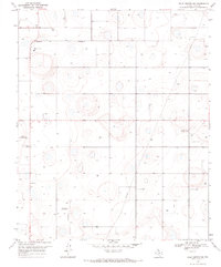
1968 · Hale Center SW
USGS Topo · 1:24,000
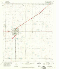
1968 · Hale Center
USGS Topo · 1:24,000