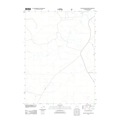
2012 Map of Halfway Hollow West
USGS Topo · Published 2012About this map
Big Dry Cr and Little Dry Cr carve through this Sweetwater County landscape, defining the drainage patterns of the high plains south of the Green River. This 2012 topographic record documents the intersection of modern transit and remote terrain, anchored by the passage of State Highway 530. The land is networked by essential access routes like Mckinnon Rd and Usfs Rd 11, illustrating how the region remains shaped by both ranching connectivity and the management of public lands. The sparse distribution of named water features underscores the arid character of the area, where intermittent streams dictate the historical movement and settlement patterns of southwestern Wyoming.
Find a feature on this map
5 named features on this map. Tap any name to fly to it.
Don’t see what you’re looking for? This feature index may not catch every label — zoom into the map to look around manually.
Map Details
Editions of this 2012 Halfway Hollow West Map
This is the sole edition of this map. No revisions or reprints were ever made.
Other maps of this area

1954 · Rock Springs
USGS Topo · 1:250,000

1957 · Mc Kinnon Junction
USGS Topo · 1:62,500

1958 · Rock Springs
USGS Topo · 1:250,000

1962 · Rock Springs
USGS Topo · 1:250,000

1964 · Antelope Knoll NE
USGS Topo · 1:24,000

1964 · Black Spring Reservoir
USGS Topo · 1:24,000

1964 · Winter Fat Reservoir
USGS Topo · 1:24,000

1966 · Mc Kinnon Junction
USGS Topo · 1:62,500

1966 · Buckboard Crossing
USGS Topo · 1:62,500
1980 · Firehole Canyon
USGS Topo · 1:100,000