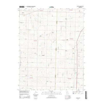
2015 Map of Halfway
USGS Topo · Published 2015About this map
Halfway sits at the junction of regional routes in Polk County, serving as a primary hub for a landscape defined by small agricultural settlements and family burial grounds. This rural interior of Missouri, surveyed in the mid-2010s, preserves the footprints of early communities like Schofield, Foose, and Redtop. The terrain is characterized by rolling uplands and distinct topographic rises such as Blue Mound and the Blue Mounds further south.
Find a feature on this map
95 named features on this map. Tap any name to fly to it.
Don’t see what you’re looking for? This feature index may not catch every label — zoom into the map to look around manually.
Map Details
Editions of this 2015 Halfway Map
This is the sole edition of this map. No revisions or reprints were ever made.
Other maps of this area

1884 · Springfield
USGS Topo · 1:125,000

1884 · Bolivar
USGS Topo · 1:125,000

1886 · Springfield
USGS Topo · 1:125,000

1892 · Bolivar
USGS Topo · 1:125,000

1947 · Strafford
USGS Topo · 1:62,500

1948 · Strafford
USGS Topo · 1:62,500

1950 · Buffalo NW
USGS Topo · 1:24,000

1950 · Polk
USGS Topo · 1:24,000

1951 · Buffalo NW
USGS Topo · 1:24,000

1951 · Polk
USGS Topo · 1:24,000