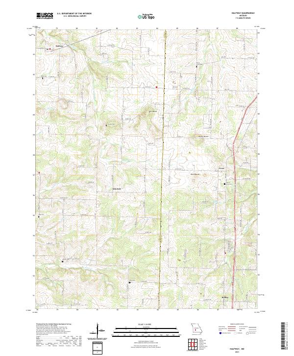
2021 Map of Halfway
USGS Topo · Published 2021About this map
Schofield and Halfway center this 2021 topographic survey of the Missouri Ozarks, where the border between Polk and Dallas counties bisects a landscape defined by family cemeteries and seasonal creeks. The mapping reveals a rural network of farm-to-market roads, such as State Hwy FF and State Hwy EE, connecting small communities like Foose and Redtop. For genealogists, the map is remarkably dense with burial sites, including Reed Cem, Gorden Cem, and the Church Grove Cem near Buffalo Br.
Find a feature on this map
97 named features on this map. Tap any name to fly to it.
Don’t see what you’re looking for? This feature index may not catch every label — zoom into the map to look around manually.
Map Details
Editions of this 2021 Halfway Map
This is the sole edition of this map. No revisions or reprints were ever made.
Other maps of this area

1884 · Springfield
USGS Topo · 1:125,000

1884 · Bolivar
USGS Topo · 1:125,000

1886 · Springfield
USGS Topo · 1:125,000

1892 · Bolivar
USGS Topo · 1:125,000

1947 · Strafford
USGS Topo · 1:62,500

1948 · Strafford
USGS Topo · 1:62,500

1950 · Buffalo NW
USGS Topo · 1:24,000

1950 · Polk
USGS Topo · 1:24,000

1951 · Buffalo NW
USGS Topo · 1:24,000

1951 · Polk
USGS Topo · 1:24,000