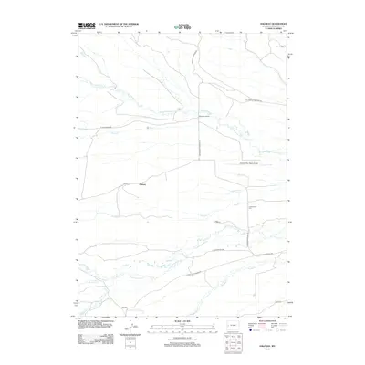
2012 Map of Halfway
USGS Topo · Published 2012About this map
Halfway sits at the intersection of local rangeland routes in Sublette County, marking a distinct node in Wyoming's high plains cattle country. The landscape is defined by the eastward drainage of numerous creeks, including the parallel courses of N Cottonwood Cr and S Cottonwood Cr, which cut through the alluvial terrain below Aspen Ridge. This 2012 survey illustrates a sparsely populated ranching environment where infrastructure is tied closely to these watercourses and local transport hubs like Ryegrass Junction.
Find a feature on this map
22 named features on this map. Tap any name to fly to it.
Don’t see what you’re looking for? This feature index may not catch every label — zoom into the map to look around manually.
Map Details
Editions of this 2012 Halfway Map
This is the sole edition of this map. No revisions or reprints were ever made.
Other maps of this area
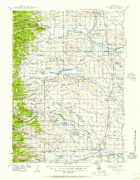
1939 · Big Piney
USGS Topo · 1:125,000
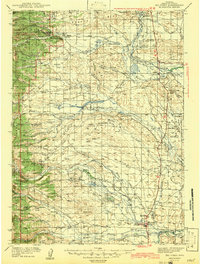
1942 · Big Piney
USGS Topo · 1:125,000
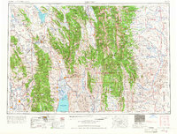
1955 · Preston
USGS Topo · 1:250,000
1958 · Preston
USGS Topo · 1:250,000
1962 · Preston
USGS Topo · 1:250,000
1970 · Budd Reservoir
USGS Topo · 1:24,000
1970 · Webb Draw
USGS Topo · 1:24,000
1970 · Onion Springs
USGS Topo · 1:24,000
1980 · Red Castle Creek
USGS Topo · 1:24,000
1980 · Merna
USGS Topo · 1:24,000