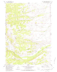
1980 Map of Red Castle Creek
USGS Topo · Published 1980About this map
Bridger National Forest dominates this Sublette County landscape, where the high-altitude topography is defined by the striking Red Castles formation and the prominent peak of Bald Mountain. The 1970s energy economy is visible through numerous Gas Well and Oil Well sites scattered among the drainages of Beecher Creek and North Muddy Creek. This survey reveals a complex network of resource extraction and water management, evidenced by the Gilbert Warren Ditch cutting across the landscape. The nomenclature of the area reflects both its physical character and perhaps its human history, with labels like Alcohol Draw and Whiskey Creek situated near North Piney Creek. Remote access is indicated by a system of Jeep Trails and Pack Trails that navigate the ridges around Round Hill and the headwaters of Red Castle Creek.
Find a feature on this map
26 named features on this map. Tap any name to fly to it.
Don’t see what you’re looking for? This feature index may not catch every label — zoom into the map to look around manually.
Map Details
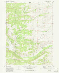
Editions of this 1980 Red Castle Creek Map
2 editions found
Other maps of this area

1921 · Afton
USGS Topo · 1:125,000

1939 · Big Piney
USGS Topo · 1:125,000

1942 · Big Piney
USGS Topo · 1:125,000

1955 · Preston
USGS Topo · 1:250,000

1958 · Preston
USGS Topo · 1:250,000

1962 · Preston
USGS Topo · 1:250,000
1980 · Springman Creek
USGS Topo · 1:24,000
1980 · Triple Peak
USGS Topo · 1:24,000
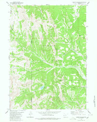
1980 · Mount Schidler
USGS Topo · 1:24,000
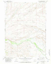
1980 · Meadow Canyon
USGS Topo · 1:24,000