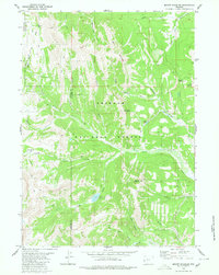
1980 Map of Mount Schidler
USGS Topo · Published 1980About this map
The Wyoming Range dominates this high-elevation landscape, where the border between Lincoln Co and Sublette Co traverses a series of prominent peaks and drainage basins within the Bridger National Forest. The geography is defined by sharp topographic reliefs such as Mount Schidler and the aptly named Coal Mine Mountain, suggesting the area's geological complexity and potential for resource extraction.
Find a feature on this map
28 named features on this map. Tap any name to fly to it.
Don’t see what you’re looking for? This feature index may not catch every label — zoom into the map to look around manually.
Map Details
Editions of this 1980 Mount Schidler Map
2 editions found
Other maps of this area

1921 · Afton
USGS Topo · 1:125,000

1939 · Big Piney
USGS Topo · 1:125,000

1942 · Big Piney
USGS Topo · 1:125,000

1955 · Preston
USGS Topo · 1:250,000

1958 · Preston
USGS Topo · 1:250,000

1962 · Preston
USGS Topo · 1:250,000
1980 · Red Castle Creek
USGS Topo · 1:24,000
1980 · Springman Creek
USGS Topo · 1:24,000
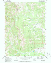
1980 · Triple Peak
USGS Topo · 1:24,000
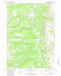
1980 · Box Canyon Creek
USGS Topo · 1:24,000