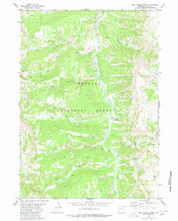
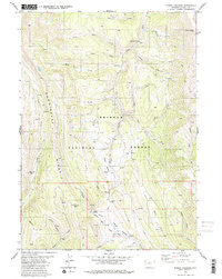
1980 Map of Box Canyon Creek
USGS Topo · Published 1980About this map
The Greys River corridor defines this high-altitude landscape within the Bridger National Forest. The 1980 survey captures a region navigated primarily by a network of trails, including the extensive Pack Trail system that follows drainage lines through the steep topography. Human presence is concentrated around the Corral Creek Guard Station, positioned near the confluence of Corral Creek and the main river. Numerous waterways, such as North Crow Creek, South Crow Creek, and Box Canyon Creek, segment the terrain, while landmarks like the Radio Towers suggest contemporary utility amidst the wilderness. The detailed mapping of various forks and springs, including the Roaring Fork and Marten Creek, provides a precise record of the drainage patterns essential for backcountry navigation and forest management during this era.
Find a feature on this map
18 named features on this map. Tap any name to fly to it.
Don’t see what you’re looking for? This feature index may not catch every label — zoom into the map to look around manually.
Map Details
Editions of this 1980 Box Canyon Creek Map
3 editions found
Other maps of this area

1921 · Afton
USGS Topo · 1:125,000

1955 · Preston
USGS Topo · 1:250,000

1958 · Preston
USGS Topo · 1:250,000

1962 · Preston
USGS Topo · 1:250,000
1980 · Triple Peak
USGS Topo · 1:24,000
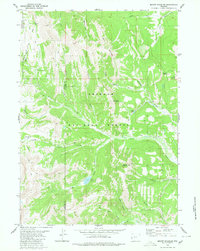
1980 · Mount Schidler
USGS Topo · 1:24,000
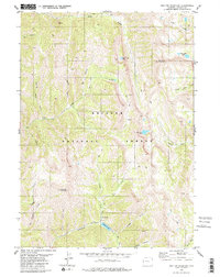
1980 · Red Top Mountain
USGS Topo · 1:24,000
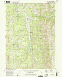
1980 · Park Creek
USGS Topo · 1:24,000
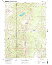
1980 · Wyoming Peak
USGS Topo · 1:24,000
1980 · Poison Meadows
USGS Topo · 1:24,000