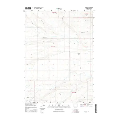
2015 Map of Halfway
USGS Topo · Published 2015About this map
Halfway and its surrounding ranch lands are defined by an intricate network of waterways draining the eastern slopes of the Wyoming Range. The landscape is oriented around N Cottonwood Cr and its various branches, including S Cottonwood Cr and Little Cottonwood Cr. This ranching district, located in Sublette County, features specialized landmarks such as the Antelope Run Ranch Airport and the Cottonwood Cem, which serve the dispersed rural population.
Find a feature on this map
28 named features on this map. Tap any name to fly to it.
Don’t see what you’re looking for? This feature index may not catch every label — zoom into the map to look around manually.
Map Details
Editions of this 2015 Halfway Map
This is the sole edition of this map. No revisions or reprints were ever made.
Other maps of this area

1939 · Big Piney
USGS Topo · 1:125,000

1942 · Big Piney
USGS Topo · 1:125,000

1955 · Preston
USGS Topo · 1:250,000

1958 · Preston
USGS Topo · 1:250,000

1962 · Preston
USGS Topo · 1:250,000
1970 · Budd Reservoir
USGS Topo · 1:24,000
1970 · Webb Draw
USGS Topo · 1:24,000
1970 · Onion Springs
USGS Topo · 1:24,000
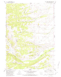
1980 · Red Castle Creek
USGS Topo · 1:24,000
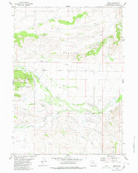
1980 · Merna
USGS Topo · 1:24,000