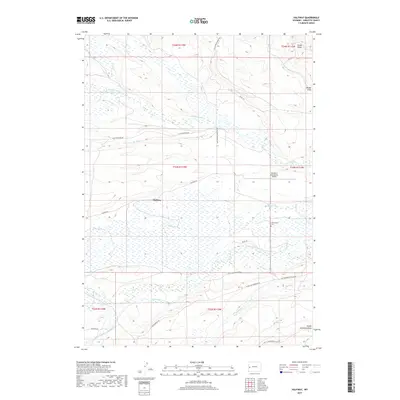
2017 Map of Halfway
USGS Topo · Published 2017About this map
Halfway serves as a central point in this western Wyoming landscape, where the high desert meets the drainages of the Bridger-Teton area. The map illustrates a complex network of ranching roads and water rights, with N Cottonwood Cr and Killpecker Cr feeding the surrounding agricultural lands. A distinctive local landmark is the Mountain King Ranch Airport, located just north of the Cottonwood Cem. The terrain is defined by dramatic elevation changes at Aspen Ridge and the deep cuts of Brodie Draw and South Antelope Draw. This 2017 survey by the U.S. Geological Survey captures the modern configuration of the rural landscape, including specific access routes like Cottonwood Merna Rd and N Piney Cottonwood Rd, which remain vital for local transit and livestock management.
Find a feature on this map
30 named features on this map. Tap any name to fly to it.
Don’t see what you’re looking for? This feature index may not catch every label — zoom into the map to look around manually.
Map Details
Editions of this 2017 Halfway Map
This is the sole edition of this map. No revisions or reprints were ever made.
Other maps of this area

1939 · Big Piney
USGS Topo · 1:125,000

1942 · Big Piney
USGS Topo · 1:125,000

1955 · Preston
USGS Topo · 1:250,000

1958 · Preston
USGS Topo · 1:250,000

1962 · Preston
USGS Topo · 1:250,000
1970 · Budd Reservoir
USGS Topo · 1:24,000
1970 · Webb Draw
USGS Topo · 1:24,000
1970 · Onion Springs
USGS Topo · 1:24,000
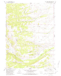
1980 · Red Castle Creek
USGS Topo · 1:24,000
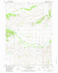
1980 · Merna
USGS Topo · 1:24,000