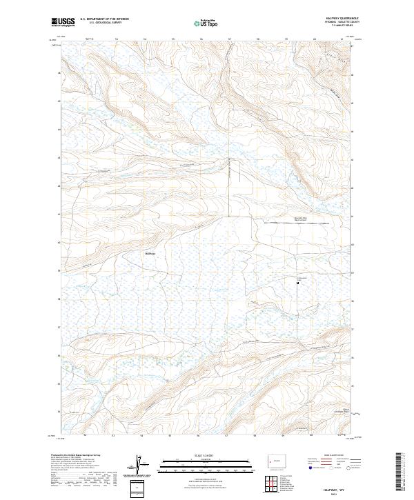
2021 Map of Halfway
USGS Topo · Published 2021About this map
Halfway and its surrounding ranch lands define this portion of Sublette County, where the high-altitude landscape is crisscrossed by a network of vital waterways and irrigation channels. The map reveals a complex drainage system essential for life in this arid region, featuring N Cottonwood Cr, S Cottonwood Cr, and the aptly named Last Chance Ditch. These streams descend from the surrounding high ground of Aspen Ridge and wind through draws like Brodie Draw and South Antelope Draw.
Find a feature on this map
33 named features on this map. Tap any name to fly to it.
Don’t see what you’re looking for? This feature index may not catch every label — zoom into the map to look around manually.
Map Details
Editions of this 2021 Halfway Map
This is the sole edition of this map. No revisions or reprints were ever made.
Other maps of this area

1939 · Big Piney
USGS Topo · 1:125,000

1942 · Big Piney
USGS Topo · 1:125,000

1955 · Preston
USGS Topo · 1:250,000

1958 · Preston
USGS Topo · 1:250,000

1962 · Preston
USGS Topo · 1:250,000
1970 · Budd Reservoir
USGS Topo · 1:24,000
1970 · Webb Draw
USGS Topo · 1:24,000
1970 · Onion Springs
USGS Topo · 1:24,000
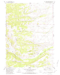
1980 · Red Castle Creek
USGS Topo · 1:24,000
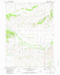
1980 · Merna
USGS Topo · 1:24,000