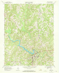
1968 Map of Halifax
USGS Topo · Published 1972About this map
Halifax serves as the focal point of this late-1960s survey, where the town infrastructure meets the expanding waters of Banister Lake. The landscape is defined by the Banister River and its numerous tributaries, including Terrible Creek, Polecat Creek, and Double Branch, which carve through the undulating topography. Rural community life is anchored by a dense network of country churches such as McKendree Ch, Mt Olive Ch, and Emmanuel Ch, alongside local educational landmarks like Bethune High Sch and Sinai Sch.
Find a feature on this map
30 named features on this map. Tap any name to fly to it.
Don’t see what you’re looking for? This feature index may not catch every label — zoom into the map to look around manually.
Map Details
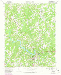
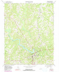
Editions of this 1968 Halifax Map
Other maps of this area

1952 · Milton
USGS Topo · 1:62,500

1953 · South Boston
USGS Topo · 1:62,500

1953 · Greensboro
USGS Topo · 1:250,000

1954 · Greensboro
USGS Topo · 1:250,000

1954 · Halifax
USGS Topo · 1:62,500

1954 · Riceville
USGS Topo · 1:62,500

1956 · Milton
USGS Topo · 1:62,500

1957 · South Boston
USGS Topo · 1:62,500

1962 · Greensboro
USGS Topo · 1:250,000

1966 · Greensboro
USGS Topo · 1:250,000