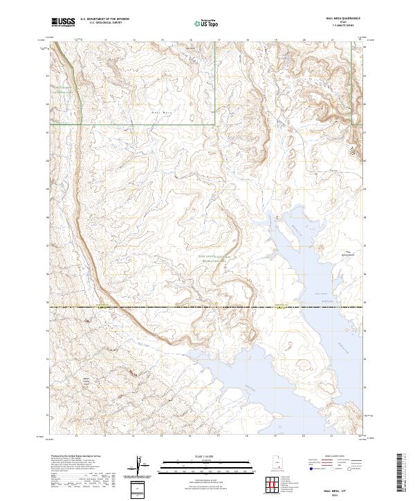
2023 Map of Hall Mesa
USGS Topo · Published 2023About this map
Hall Mesa stands as a prominent topographical feature in this high-desert landscape, situated where the Capitol Reef National Park boundary meets the northern reaches of the Glen Canyon National Recreation Area. The map reveals a complex drainage network where Halls Creek and Millers Creek carve through the sedimentary layers toward the rising waters of Lake Powell. Significant geologic landmarks like the Water Pocket Fold and the descent of Grand Gulch illustrate the erosional forces that have shaped this portion of the Colorado Plateau.
Find a feature on this map
17 named features on this map. Tap any name to fly to it.
Don’t see what you’re looking for? This feature index may not catch every label — zoom into the map to look around manually.
Map Details
Editions of this 2023 Hall Mesa Map
This is the sole edition of this map. No revisions or reprints were ever made.
Other maps of this area

1886 · Henry Mountains
USGS Topo · 1:250,000

1892 · Henry Mountains
USGS Topo · 1:250,000

1953 · Mt Pennell 3 NW
USGS Topo · 1:24,000

1953 · Mt Pennell 3 SW
USGS Topo · 1:24,000

1953 · The Rincon
USGS Topo · 1:62,500

1953 · Lake Canyon
USGS Topo · 1:62,500

1953 · Mt. Ellsworth
USGS Topo · 1:62,500

1953 · Hall Mesa
USGS Topo · 1:62,500

1956 · Escalante
USGS Topo · 1:250,000

1960 · Escalante
USGS Topo · 1:250,000