
1953 Map of Hall Mesa
USGS Topo · Published 1956About this map
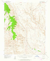
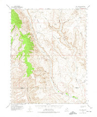
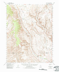
The dramatic monocline of the Waterpocket Fold dominates this mid-century survey of the Garfield and Kane county border. This landscape is defined by its deep isolation and topographical complexity, where the vertical uplift of the fold meets the broad plateaus of Hall Mesa and Big Thomson Mesa. Human activity is sparse but telling of the era's industrial and agricultural attempts; an Oil Well (Aban'd) and a remote Landing Strip suggest the mid-century push for resource exploration in the high desert. Settlement is limited to the Baker Ranch in the southern portion of the quadrangle, positioned near the junction of a Jeep Trail and Hall Creek. The map meticulously details the drainage networks of Moody Canyon and Bullfrog Creek, alongside vital desert water sources like the Fountain Tanks and Clay Seep.
Find a feature on this map
28 named features on this map. Tap any name to fly to it.
Don’t see what you’re looking for? This feature index may not catch every label — zoom into the map to look around manually.
Map Details
Editions of this 1953 Hall Mesa Map
4 editions found
Other maps of this area

1886 · Escalante
USGS Topo · 1:250,000

1886 · Henry Mountains
USGS Topo · 1:250,000

1892 · Henry Mountains
USGS Topo · 1:250,000

1952 · Mt Pennell 1 SW
USGS Topo · 1:24,000

1952 · Mt Hillers
USGS Topo · 1:62,500

1953 · Mt Pennell
USGS Topo · 1:62,500

1953 · Circle Cliffs 1 SE
USGS Topo · 1:24,000

1953 · Mt Pennell 2 SE
USGS Topo · 1:24,000

1953 · Mt Pennell 3 NW
USGS Topo · 1:24,000

1953 · Mt Pennell 3 SW
USGS Topo · 1:24,000