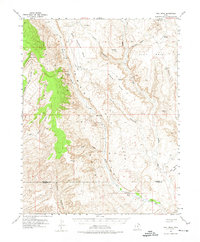
1953 Map of Hall Mesa
USGS Topo · Published 1974About this map
The Waterpocket Fold dominates this mid-century landscape of the Colorado Plateau, where high mesas and deep canyons define the border between Garfield and Kane counties. This 1953 survey captures the area when cattle ranching and early petroleum exploration were the primary activities. Evidence of these pursuits appears at Baker Ranch and a remote Oil Well (Aban'd) near Middle Point. Movement across this difficult terrain was limited to a few established paths, including the Trail crossing at Hall Divide and various Jeep Trails that provided access to features like Big Thomson Mesa and Hall Mesa. Water remains the most critical resource in this arid environment, marked by isolated points like Clay Seep, Fountain Tanks, and the seasonal flow of Halls Creek through Halls Gulch.
Find a feature on this map
29 named features on this map. Tap any name to fly to it.
Don’t see what you’re looking for? This feature index may not catch every label — zoom into the map to look around manually.
Map Details
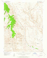
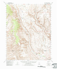
Editions of this 1953 Hall Mesa Map
4 editions found

Other maps of this area

1886 · Escalante
USGS Topo · 1:250,000

1886 · Henry Mountains
USGS Topo · 1:250,000

1892 · Henry Mountains
USGS Topo · 1:250,000

1952 · Mt Pennell 1 SW
USGS Topo · 1:24,000

1952 · Mt Hillers
USGS Topo · 1:62,500

1953 · Mt Pennell
USGS Topo · 1:62,500

1953 · Circle Cliffs 1 SE
USGS Topo · 1:24,000

1953 · Mt Pennell 2 SE
USGS Topo · 1:24,000

1953 · Mt Pennell 3 NW
USGS Topo · 1:24,000

1953 · Mt Pennell 3 SW
USGS Topo · 1:24,000