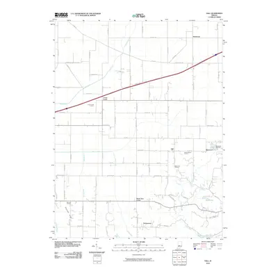
2010 Map of Hall
USGS Topo · Published 2010About this map
Crown Center and Hazelwood anchor this part of Morgan County, where a network of rural roads such as Tudor Rd and Frontage Rd weave through a landscape defined by creeks and small communities. The area is dotted with several significant burial grounds, including the Crown Center Cemetery, Mount Pleasant Cemetery, and Mount Zion Cemetery, which serve as vital landmarks for local family history and genealogical research.
Find a feature on this map
78 named features on this map. Tap any name to fly to it.
Don’t see what you’re looking for? This feature index may not catch every label — zoom into the map to look around manually.
Map Details
Editions of this 2010 Hall Map
This is the sole edition of this map. No revisions or reprints were ever made.
Other maps of this area

1942 · Franklin
USGS Topo · 1:125,000

1949 · Quincy
USGS Topo · 1:24,000

1953 · Clayton
USGS Topo · 1:24,000

1953 · Plainfield
USGS Topo · 1:24,000

1953 · Indianapolis
USGS Topo · 1:250,000

1955 · Hall
USGS Topo · 1:24,000

1955 · Mooresville West
USGS Topo · 1:24,000

1955 · Martinsville
USGS Topo · 1:24,000

1956 · Indianapolis
USGS Topo · 1:250,000

1956 · Eminence
USGS Topo · 1:24,000