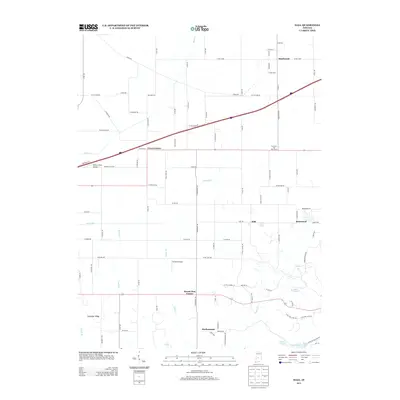
2013 Map of Hall
USGS Topo · Published 2013About this map
Crown Center and Hazelwood anchor this rural landscape in Morgan County, Indiana, where agricultural estates and small airfields define the local geography. The map reveals a transition between established farmsteads like Trinity Farm and Clements and Pate Farm and smaller crossroads communities such as Hall and Mount Zion Corner. Aviation history is present through localized hubs like Patrum Field Airport and Winters Airport, which are interspersed among the drainages of Mud Cr and Lake Ditch. To the south, the terrain rises toward Shumaker Ridge before descending into the lake-dotted region near Patton Lake. This survey provides a precise look at the modern rural-residential layout of the area, tracing the evolution of family-named settlements like Herbamount and Briarwood.
Find a feature on this map
99 named features on this map. Tap any name to fly to it.
Don’t see what you’re looking for? This feature index may not catch every label — zoom into the map to look around manually.
Map Details
Editions of this 2013 Hall Map
This is the sole edition of this map. No revisions or reprints were ever made.
Other maps of this area

1942 · Franklin
USGS Topo · 1:125,000

1949 · Quincy
USGS Topo · 1:24,000

1953 · Clayton
USGS Topo · 1:24,000

1953 · Plainfield
USGS Topo · 1:24,000

1953 · Indianapolis
USGS Topo · 1:250,000

1955 · Hall
USGS Topo · 1:24,000

1955 · Mooresville West
USGS Topo · 1:24,000

1955 · Martinsville
USGS Topo · 1:24,000

1956 · Indianapolis
USGS Topo · 1:250,000

1956 · Eminence
USGS Topo · 1:24,000