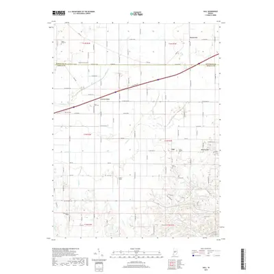
2019 Map of Hall
USGS Topo · Published 2019About this map
Hazelwood and Crown Center anchor the northern landscape of this Morgan County region, where the terrain begins its transition from the agricultural plains of the north toward more dissected southern ridges. The county boundary between Hendricks Co and Morgan Co runs horizontally through the upper section, cutting across the watershed of Mud Creek. Local history is deeply embedded in the rural crossroads and small community centers like Hall, which is surrounded by several generational burial grounds including Mount Zion Cem and Mount Pleasant Cem.
Find a feature on this map
106 named features on this map. Tap any name to fly to it.
Don’t see what you’re looking for? This feature index may not catch every label — zoom into the map to look around manually.
Map Details
Editions of this 2019 Hall Map
This is the sole edition of this map. No revisions or reprints were ever made.
Other maps of this area

1942 · Franklin
USGS Topo · 1:125,000

1949 · Quincy
USGS Topo · 1:24,000

1953 · Clayton
USGS Topo · 1:24,000

1953 · Plainfield
USGS Topo · 1:24,000

1953 · Indianapolis
USGS Topo · 1:250,000

1955 · Hall
USGS Topo · 1:24,000

1955 · Mooresville West
USGS Topo · 1:24,000

1955 · Martinsville
USGS Topo · 1:24,000

1956 · Indianapolis
USGS Topo · 1:250,000

1956 · Eminence
USGS Topo · 1:24,000