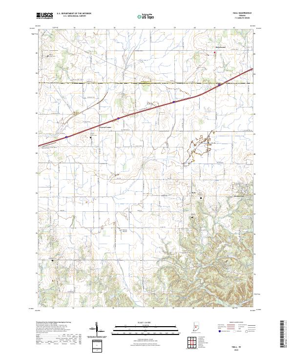
2022 Map of Hall
USGS Topo · Published 2022About this map
Hall serves as a central point of settlement in this rural landscape at the boundary of Hendricks and Morgan counties. The area is characterized by its agricultural heritage and small community nodes such as Crown Center, Hazelwood, and Briarwood. Several historic cemeteries, including Crown Center Cem, Mount Zion Cem, and Walnut Grove Cem, are scattered throughout the quadrangle, offering significant touchpoints for genealogical research. The drainage patterns of Lake Ditch, Mud Creek, and Snake Creek influence the local topography, while localized aviation is represented by Winters Airport and Patrum Field. Southern portions of the map reveal more varied terrain near Shumaker Ridge, where the landscape begins to roll toward Kivett Lake and Whippoorwill Lake. This survey illustrates the persistent rural character of the region, where township and range lines dictate the geometric road network that connects these long-standing farming communities.
Find a feature on this map
105 named features on this map. Tap any name to fly to it.
Don’t see what you’re looking for? This feature index may not catch every label — zoom into the map to look around manually.
Map Details
Editions of this 2022 Hall Map
This is the sole edition of this map. No revisions or reprints were ever made.
Other maps of this area

1942 · Franklin
USGS Topo · 1:125,000

1949 · Quincy
USGS Topo · 1:24,000

1953 · Clayton
USGS Topo · 1:24,000

1953 · Plainfield
USGS Topo · 1:24,000

1953 · Indianapolis
USGS Topo · 1:250,000

1955 · Hall
USGS Topo · 1:24,000

1955 · Mooresville West
USGS Topo · 1:24,000

1955 · Martinsville
USGS Topo · 1:24,000

1956 · Indianapolis
USGS Topo · 1:250,000

1956 · Eminence
USGS Topo · 1:24,000