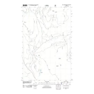
2011 Map of Hall Mountain
USGS Topo · Published 2011About this map
Hall Mountain and its surrounding peaks dominate this landscape, which is defined by a history of extraction and high-country transit. Several mining operations are identified across these slopes, including the Miller Brothers Mine near Round Prairie Creek and the American Girl Mine situated west of Camp Nine Rd. The terrain is deeply carved by drainage systems like Mission Creek and Miller Creek, which provide the primary corridors for routes such as Old Hwy 95 and Hall Mountain Rd.
Find a feature on this map
27 named features on this map. Tap any name to fly to it.
Don’t see what you’re looking for? This feature index may not catch every label — zoom into the map to look around manually.
Map Details
Editions of this 2011 Hall Mountain Map
This is the sole edition of this map. No revisions or reprints were ever made.
Other maps of this area

1911 · Priest Lake
USGS Topo · 1:250,000

1913 · Priest Lake
USGS Topo · 1:250,000

1958 · Sandpoint
USGS Topo · 1:250,000

1963 · Sandpoint
USGS Topo · 1:250,000

1965 · Meadow Creek
USGS Topo · 1:24,000

1965 · Farnham Peak
USGS Topo · 1:24,000

1965 · Eastport
USGS Topo · 1:24,000

1965 · Ritz
USGS Topo · 1:24,000

1965 · Copeland
USGS Topo · 1:24,000

1965 · Hall Mountain
USGS Topo · 1:24,000