
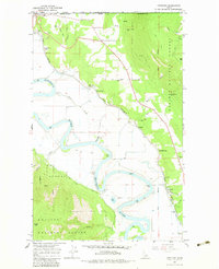
1965 Map of Copeland
USGS Topo · Published 1967About this map
The Kootenai River snakes through the northern tip of Idaho in this mid-1960s survey, marking a complex landscape of valley agriculture and steep mountain terrain. The international boundary at Porthill highlights the region's role as a gateway between the United States and Canada, where the Great Northern railroad supports a series of specialized stops and sidings including K V Farm Spur and Edwards Spur.
Find a feature on this map
37 named features on this map. Tap any name to fly to it.
Don’t see what you’re looking for? This feature index may not catch every label — zoom into the map to look around manually.
Map Details
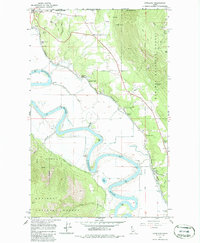
Editions of this 1965 Copeland Map
Other maps of this area

1911 · Priest Lake
USGS Topo · 1:250,000

1913 · Priest Lake
USGS Topo · 1:250,000

1958 · Sandpoint
USGS Topo · 1:250,000

1963 · Sandpoint
USGS Topo · 1:250,000

1965 · Farnham Peak
USGS Topo · 1:24,000

1965 · Ritz
USGS Topo · 1:24,000

1965 · Hall Mountain
USGS Topo · 1:24,000

1968 · Smith Falls
USGS Topo · 1:24,000

1969 · Pyramid Peak
USGS Topo · 1:24,000
1983 · Bonners Ferry
USGS Topo · 1:100,000