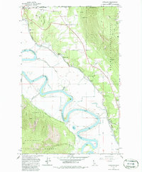
1965 Map of Copeland
USGS Topo · Published 1986About this map
The Canada United States border defines the northern limit of this mid-1960s survey, where the Kootenai River carves a deep, winding path through Boundary County. This landscape is a hybrid of industrial activity and riverine transport, dominated by the Great Northern railway which services several specialized sidings including K V Farm Spur, Houcks Spur, and Edwards Spur. The presence of the Golden Scepter Mine and Montgomery Mine on the higher elevations of Stein Mtn and Hall Mtn suggests a period of active resource extraction tucked into the timber of the Kaniksu National Forest. Along the riverbanks, smaller settlements like Porthill and the Camp 8 logging area are connected by the Copeland Ferry, while historical family and community sites like IOOF Cem and Copeland Cem provide critical touchpoints for genealogical research in this northern Idaho corridor.
Find a feature on this map
38 named features on this map. Tap any name to fly to it.
Don’t see what you’re looking for? This feature index may not catch every label — zoom into the map to look around manually.
Map Details
Editions of this 1965 Copeland Map
Other maps of this area

1911 · Priest Lake
USGS Topo · 1:250,000

1913 · Priest Lake
USGS Topo · 1:250,000

1958 · Sandpoint
USGS Topo · 1:250,000

1963 · Sandpoint
USGS Topo · 1:250,000

1965 · Farnham Peak
USGS Topo · 1:24,000

1965 · Ritz
USGS Topo · 1:24,000

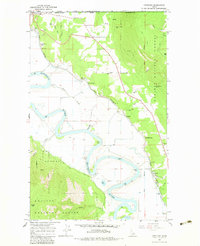
1965 · Copeland
USGS Topo · 1:24,000

1965 · Hall Mountain
USGS Topo · 1:24,000

1968 · Smith Falls
USGS Topo · 1:24,000

1969 · Pyramid Peak
USGS Topo · 1:24,000