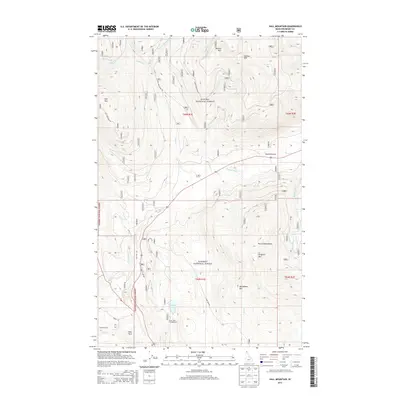
2013 Map of Hall Mountain
USGS Topo · Published 2013About this map
Round Prairie and the surrounding high country of the Purcell Mountains define this northern Idaho landscape within the Kanisku National Forest. The map shows a region shaped by timber and mining heritage, with prominent peaks like Tungsten Mtn and Bethlehem Mtn overlooking the drainage of Mission Cr. The transportation network is anchored by Old Hwy 95 and a series of forest routes including Hall Mountain Rd, which provide access to remote areas like Deer Park and Seelovers Spur.
Find a feature on this map
31 named features on this map. Tap any name to fly to it.
Don’t see what you’re looking for? This feature index may not catch every label — zoom into the map to look around manually.
Map Details
Editions of this 2013 Hall Mountain Map
This is the sole edition of this map. No revisions or reprints were ever made.
Other maps of this area

1911 · Priest Lake
USGS Topo · 1:250,000

1913 · Priest Lake
USGS Topo · 1:250,000

1958 · Sandpoint
USGS Topo · 1:250,000

1963 · Sandpoint
USGS Topo · 1:250,000

1965 · Meadow Creek
USGS Topo · 1:24,000

1965 · Farnham Peak
USGS Topo · 1:24,000

1965 · Eastport
USGS Topo · 1:24,000

1965 · Ritz
USGS Topo · 1:24,000

1965 · Copeland
USGS Topo · 1:24,000

1965 · Hall Mountain
USGS Topo · 1:24,000