
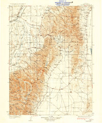
1935 Map of Halleck
USGS Topo · Published 1935About this map
The site of Fort Halleck (Abandoned) sits at the base of the mountains, a remnant of frontier military history preserved in this mid-1930s survey of Elko County. The Humboldt River and its North Fork serve as the primary hydrologic spine, shadowed by the Southern Pacific and Western Pacific railroads. High-altitude alpine features like Liberty Lake and Favre Lake are meticulously mapped within the high peaks.
Find a feature on this map
105 named features on this map. Tap any name to fly to it.
Don’t see what you’re looking for? This feature index may not catch every label — zoom into the map to look around manually.
Map Details
Editions of this 1935 Halleck Map
3 editions found
Other maps of this area

1934 · Jiggs
USGS Topo · 1:125,000

1937 · Jiggs
USGS Topo · 1:125,000

1953 · Spruce Mountain
USGS Topo · 1:62,500

1955 · Wells
USGS Topo · 1:250,000

1955 · Elko
USGS Topo · 1:250,000

1958 · Wells
USGS Topo · 1:250,000

1958 · Elko
USGS Topo · 1:250,000

1959 · Jiggs
USGS Topo · 1:62,500

1961 · Wells
USGS Topo · 1:250,000

1962 · Elko
USGS Topo · 1:250,000