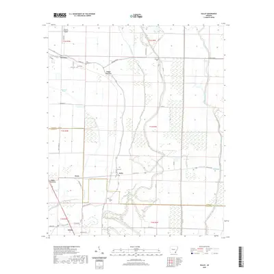
2020 Map of Halley
USGS Topo · Published 2020About this map
Mcgehee and its surrounding delta landscapes are defined by an intricate network of waterways and early 21st-century agricultural infrastructure. This survey illustrates the transition from the city center to the rural communities of Trippe Junction and Halley, where the land is scored by the winding course of Crooked Bayou and Canal Number 18. The map serves as a detailed record for genealogists, preserving the locations of several smaller burial sites including Beasley Cem, Holly Grove Cem, and Old Grange Cem.
Find a feature on this map
51 named features on this map. Tap any name to fly to it.
Don’t see what you’re looking for? This feature index may not catch every label — zoom into the map to look around manually.
Map Details
Editions of this 2020 Halley Map
This is the sole edition of this map. No revisions or reprints were ever made.
Other maps of this area

1933 · Lamont
USGS Topo · 1:62,500

1936 · McGehee
USGS Topo · 1:62,500

1936 · Lake Village
USGS Topo · 1:62,500

1937 · McGehee
USGS Topo · 1:62,500

1939 · Refuge
USGS Topo · 1:62,500

1939 · Lamont
USGS Topo · 1:62,500

1953 · Greenwood
USGS Topo · 1:250,000

1955 · Lake Village
USGS Topo · 1:62,500

1955 · McGehee
USGS Topo · 1:62,500

1956 · Greenwood
USGS Topo · 1:250,000