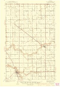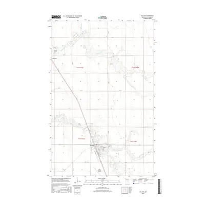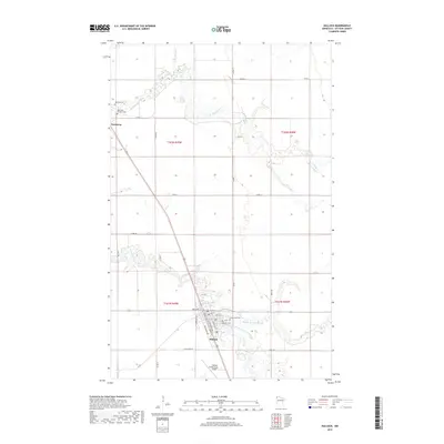
1985 Map of Hallock
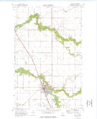
USGS Topo · Published 1994About this map
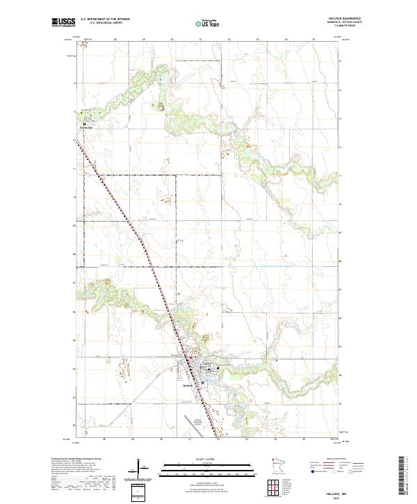
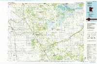
The Joe River and Two Rivers systems define this 1980s landscape at the northern edge of Minnesota, where the drainage patterns of Judicial Ditch No 1 and numerous other numbered channels reveal an intensive agricultural effort to manage the Red River Valley plains. This era is marked by the presence of both the Soo Line and Burlington Northern railroads, which anchor a string of settlements like Hallock, Kennedy, and Donaldson along the western corridor. Extensive conservation areas, including the Roseau River State Wildlife Management Area and Lake Bronson State Park, highlight the region's balance between reclaimed farmland and protected marshland. For local history researchers, the map identifies genealogical landmarks such as the Pelan Pioneer Cem and various rural landing strips, alongside the international transition at the Port of Entry US Customs on the Canadian border.
Find a feature on this map
126 named features on this map. Tap any name to fly to it.
Don’t see what you’re looking for? This feature index may not catch every label — zoom into the map to look around manually.
Map Details
Editions of this 1985 Hallock Map
2 editions found
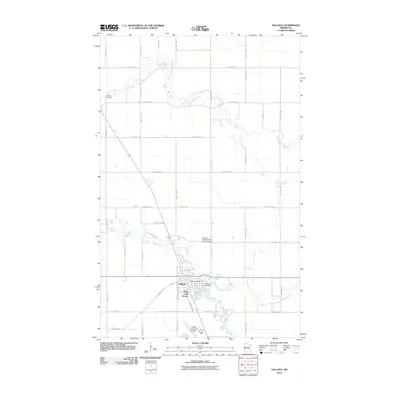
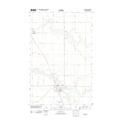
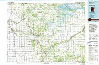
Historical Maps of Hallock Through Time
8 maps found