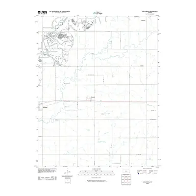
2010 Map of Hallowell
USGS Topo · Published 2010About this map
Sherwin and Hallowell anchor this section of the Cherokee Plains in southeastern Kansas. The landscape is defined by a dense grid of rural roads and the winding paths of several waterways, including Center Creek, Cherry Creek, and Little Cherry Creek. Traces of the region's agricultural and mining history are evident in the scattered settlements and small burial grounds that dot the sections. Local genealogy is well-represented through family and community landmarks such as LaRue Cemetery, Edgmand Cemetery, Spickelmire Cemetery, and Dove Cemetery. In the northern portion of the map, the small settlement of Cokedale sits near the headwaters of Denny Branch, highlighting the localized naming conventions of the era. The organized network of thoroughfares like NW Belleview Rd and SW Cheneyville Rd illustrates the long-established township-and-range surveying system that persists in this prairie environment.
Find a feature on this map
41 named features on this map. Tap any name to fly to it.
Don’t see what you’re looking for? This feature index may not catch every label — zoom into the map to look around manually.
Map Details
Editions of this 2010 Hallowell Map
This is the sole edition of this map. No revisions or reprints were ever made.
Other maps of this area

1886 · Joplin
USGS Topo · 1:125,000

1886 · Parsons
USGS Topo · 1:125,000

1893 · Parsons
USGS Topo · 1:125,000

1894 · Joplin
USGS Topo · 1:125,000

1918 · Columbus
USGS Topo · 1:62,500

1943 · McCune
USGS Topo · 1:62,500

1943 · Cherokee
USGS Topo · 1:62,500

1944 · Oswego
USGS Topo · 1:62,500

1945 · Mc Cune
USGS Topo · 1:62,500

1945 · Cherokee
USGS Topo · 1:62,500