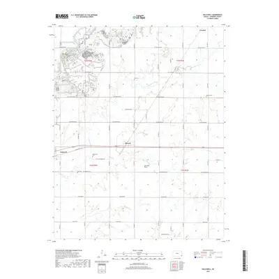
2018 Map of Hallowell
USGS Topo · Published 2018About this map
Sherwin and Hallowell sit within the flat expanse of the Cherokee Plains, illustrating the rural agricultural grid of southeast Kansas. This U.S. Geological Survey representation emphasizes the section-line road network that defines local travel, with primary routes like SW Hallowell Rd and NW Bethlehem Rd connecting the scattered communities. Family and community history is anchored by several rural burial grounds, including LaRue Cem and Edgmand Cem, which stand as landmarks in an otherwise open landscape. Waterways such as Cherry Creek and Center Cr meander through the townships, influencing the placement of early homesteads. To the north, the small settlement of Cokedale and the course of Deer Cr provide further context for the region's development during this era of modern mapping.
Find a feature on this map
48 named features on this map. Tap any name to fly to it.
Don’t see what you’re looking for? This feature index may not catch every label — zoom into the map to look around manually.
Map Details
Editions of this 2018 Hallowell Map
This is the sole edition of this map. No revisions or reprints were ever made.
Other maps of this area

1886 · Joplin
USGS Topo · 1:125,000

1886 · Parsons
USGS Topo · 1:125,000

1893 · Parsons
USGS Topo · 1:125,000

1894 · Joplin
USGS Topo · 1:125,000

1918 · Columbus
USGS Topo · 1:62,500

1943 · McCune
USGS Topo · 1:62,500

1943 · Cherokee
USGS Topo · 1:62,500

1944 · Oswego
USGS Topo · 1:62,500

1945 · Mc Cune
USGS Topo · 1:62,500

1945 · Cherokee
USGS Topo · 1:62,500