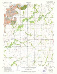
1974 Map of Hallowell
USGS Topo · Published 1975About this map
Strip Pits State Wildlife Management Area dominates the northwestern landscape of this Cherokee County quadrangle, where former mining excavations have been repurposed for conservation. The industrial footprint is evident throughout the region, from the Strip Mine north of Hallowell to the rail infrastructure of the Missouri-Kansas-Texas and St Louis-San Francisco lines that intersect at Sherwin. These rail corridors historically served the coal-rich area, linking local pits to larger markets.
Find a feature on this map
23 named features on this map. Tap any name to fly to it.
Don’t see what you’re looking for? This feature index may not catch every label — zoom into the map to look around manually.
Map Details
Editions of this 1974 Hallowell Map
This is the sole edition of this map. No revisions or reprints were ever made.
Other maps of this area

1886 · Joplin
USGS Topo · 1:125,000

1886 · Parsons
USGS Topo · 1:125,000

1893 · Parsons
USGS Topo · 1:125,000

1894 · Joplin
USGS Topo · 1:125,000

1918 · Columbus
USGS Topo · 1:62,500

1943 · McCune
USGS Topo · 1:62,500

1943 · Cherokee
USGS Topo · 1:62,500

1944 · Oswego
USGS Topo · 1:62,500

1945 · Mc Cune
USGS Topo · 1:62,500

1945 · Cherokee
USGS Topo · 1:62,500