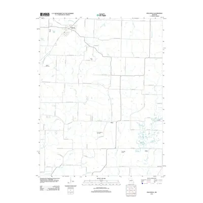
2012 Map of Hallsville
USGS Topo · Published 2012About this map
Hallsville serves as the primary northern anchor of this Boone County landscape, situated where several local routes converge near Kelley Branch and Scott Lake. The terrain transitions into the expansive Two Mile Prairie to the south, a region historically significant for its open grasslands and early agricultural settlement. Small family and community landmarks such as Stephens Cemetery and Oak Cemetery are preserved on this 2012 survey, providing essential data for genealogists tracking local roots.
Find a feature on this map
76 named features on this map. Tap any name to fly to it.
Don’t see what you’re looking for? This feature index may not catch every label — zoom into the map to look around manually.
Map Details
Editions of this 2012 Hallsville Map
This is the sole edition of this map. No revisions or reprints were ever made.
Other maps of this area

1886 · Jefferson City
USGS Topo · 1:125,000

1890 · Moberly
USGS Topo · 1:125,000

1894 · Jefferson City
USGS Topo · 1:125,000

1917 · Sturgeon
USGS Topo · 1:62,500

1935 · Columbia
USGS Topo · 1:24,000

1940 · Columbia
USGS Topo · 1:24,000

1944 · Millersburg
USGS Topo · 1:62,500

1945 · Centralia
USGS Topo · 1:62,500

1946 · Millersburg
USGS Topo · 1:62,500

1947 · Jefferson City
USGS Topo · 1:250,000