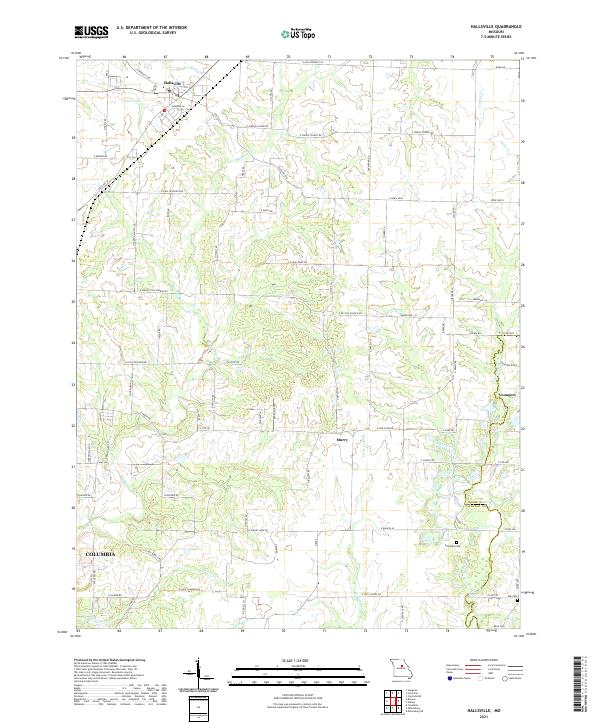
2021 Map of Hallsville
USGS Topo · Published 2021About this map
Hallsville serves as the primary hub in this central Missouri landscape, where the northern expansion of Columbia begins to meet the rural reaches of Boone and Callaway counties. The terrain is defined by a dense network of tributaries including Silver Fork, Hinkson Cr, and Youngs Cr, which carve through the countryside and influence the placement of local thoroughfares like State HWY B and State HWY Oo. The map reveals a high concentration of family-named roads and school-related landmarks such as Owens School RD and E Judy School RD, reflecting a long-standing pattern of community-centered land use.
Find a feature on this map
87 named features on this map. Tap any name to fly to it.
Don’t see what you’re looking for? This feature index may not catch every label — zoom into the map to look around manually.
Map Details
Editions of this 2021 Hallsville Map
This is the sole edition of this map. No revisions or reprints were ever made.
Other maps of this area

1886 · Jefferson City
USGS Topo · 1:125,000

1890 · Moberly
USGS Topo · 1:125,000

1894 · Jefferson City
USGS Topo · 1:125,000

1917 · Sturgeon
USGS Topo · 1:62,500

1935 · Columbia
USGS Topo · 1:24,000

1940 · Columbia
USGS Topo · 1:24,000

1944 · Millersburg
USGS Topo · 1:62,500

1945 · Centralia
USGS Topo · 1:62,500

1946 · Millersburg
USGS Topo · 1:62,500

1947 · Jefferson City
USGS Topo · 1:250,000