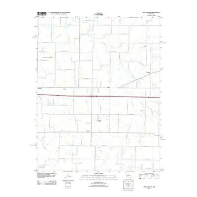
2011 Map of Halltown NE
USGS Topo · Published 2011About this map
Yeakley and the rural crossroads of Plano anchor this 2011 Missouri landscape, where the Sac River meanders through the northeast corner of the quadrangle. The area is defined by a dense network of farm roads and the winding paths of Sycamore Creek, Pickerel Creek, and Billies Creek. Genealogists will find several notable burial sites including Squib Cemetery and Garoutte Cemetery, which reflect the long-standing agricultural settlement of this region.
Find a feature on this map
79 named features on this map. Tap any name to fly to it.
Don’t see what you’re looking for? This feature index may not catch every label — zoom into the map to look around manually.
Map Details
Editions of this 2011 Halltown NE Map
This is the sole edition of this map. No revisions or reprints were ever made.
Other maps of this area

1884 · Springfield
USGS Topo · 1:125,000

1886 · Greenfield
USGS Topo · 1:125,000

1886 · Springfield
USGS Topo · 1:125,000

1888 · Greenfield
USGS Topo · 1:125,000

1919 · Halltown
USGS Topo · 1:62,500

1936 · Brookline
USGS Topo · 1:24,000

1948 · Willard
USGS Topo · 1:24,000

1954 · Springfield
USGS Topo · 1:250,000

1956 · Ash Grove
USGS Topo · 1:24,000
1956 · Everton
USGS Topo · 1:24,000