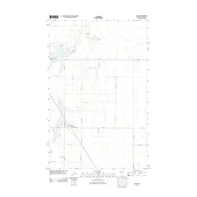
2013 Map of Halma
USGS Topo · Published 2013About this map
Halma serves as the primary settlement center for this corner of Kittson County, where local life centers on the intersection of Cleveland Ave and Montana Ave N. The landscape is defined by the winding course of the South Branch Two Rivers, which feeds into the larger basin of Lake Bronson. This area reveals a significant genealogical record through several distinct burial sites, including the Swanson Cem and the Nyren Burials near the riverbanks. The township road grid, comprised of routes like Co Hwy-10 and Twp Hwy T-245, connects the town to outlying points like Eidsvold Cem. Local water management is evident through the presence of engineered waterways like State Ditch Number Fortynine, reflecting the region's agricultural drainage history.
Find a feature on this map
33 named features on this map. Tap any name to fly to it.
Don’t see what you’re looking for? This feature index may not catch every label — zoom into the map to look around manually.
Map Details
Editions of this 2013 Halma Map
This is the sole edition of this map. No revisions or reprints were ever made.
Other maps of this area

1918 · Hemmington
USGS Topo · 1:62,500

1919 · Pelan
USGS Topo · 1:62,500

1930 · Juneberry
USGS Topo · 1:31,680

1932 · Juneberry
USGS Topo · 1:62,500

1952 · Thief River Falls
USGS Topo · 1:250,000

1956 · Thief River Falls
USGS Topo · 1:250,000

1956 · Karlstad
USGS Topo · 1:62,500

1957 · Thief River Falls
USGS Topo · 1:250,000

1957 · Pelan
USGS Topo · 1:62,500

1966 · Skull Lake SE
USGS Topo · 1:24,000