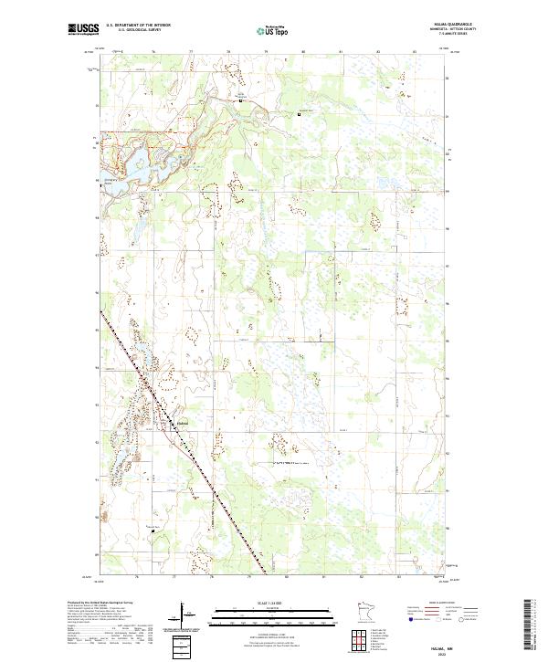
2022 Map of Halma
USGS Topo · Published 2022About this map
The small village of Halma sits as a lonely hub within the Kittson County plains, defined by its position along Railroad Ave and the surrounding wetland system. This 2022 survey captures a landscape dominated by the intricate hydrology of the South Branch Two Rivers and the extensive network of drainage channels like State Ditch Number Forty-nine, which have long been essential for agricultural viability in this corner of Minnesota. The settlement pattern is sparse, with section roads such as Co Rd 28 and Co Rd 10 connecting isolated farmsteads and rural landmarks.
Find a feature on this map
35 named features on this map. Tap any name to fly to it.
Don’t see what you’re looking for? This feature index may not catch every label — zoom into the map to look around manually.
Map Details
Editions of this 2022 Halma Map
This is the sole edition of this map. No revisions or reprints were ever made.
Other maps of this area

1918 · Hemmington
USGS Topo · 1:62,500

1919 · Pelan
USGS Topo · 1:62,500

1930 · Juneberry
USGS Topo · 1:31,680

1932 · Juneberry
USGS Topo · 1:62,500

1952 · Thief River Falls
USGS Topo · 1:250,000

1956 · Thief River Falls
USGS Topo · 1:250,000

1956 · Karlstad
USGS Topo · 1:62,500

1957 · Thief River Falls
USGS Topo · 1:250,000

1957 · Pelan
USGS Topo · 1:62,500

1966 · Skull Lake SE
USGS Topo · 1:24,000