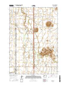
2017 Map of Halsey
USGS Topo · Published 2017About this map
The Calapooia River meanders through this agricultural landscape of the Willamette Valley, defining the low-lying terrain alongside intricate waterways like Shedd Slough and Sodom Ditch. The settlements of Shedd and Halsey anchor the western rail corridor, while Brownsville sits at the southeastern edge where the valley floor begins to rise into more varied topography. Prominent elevations such as Saddle Butte, Ward Butte, and the Powell Hills break the horizontal expanse of the farmland, serving as natural landmarks for generations of residents. Local history is preserved at the Bunker Hill Cem and Pleasant Butte Baptist Cem, which offer genealogical connections for families rooted in Linn County. The presence of J & J Airport and a network of rural roads like Boston Mill Dr reflects the ongoing evolution of transportation and land use in this productive region.
Find a feature on this map
66 named features on this map. Tap any name to fly to it.
Don’t see what you’re looking for? This feature index may not catch every label — zoom into the map to look around manually.
Map Details
Editions of this 2017 Halsey Map
This is the sole edition of this map. No revisions or reprints were ever made.
Other maps of this area

1909 · Harrisburg
USGS Topo · 1:31,680

1909 · Rowland
USGS Topo · 1:31,680

1911 · Brownsville
USGS Topo · 1:31,680

1911 · Lebanon
USGS Topo · 1:31,680

1911 · Tangent
USGS Topo · 1:31,680

1912 · Halsey
USGS Topo · 1:62,500

1913 · Oakville
USGS Topo · 1:31,680

1916 · Albany
USGS Topo · 1:62,500

1921 · Brownsville
USGS Topo · 1:62,500

1921 · Lebanon
USGS Topo · 1:62,500